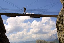
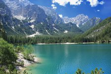
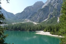
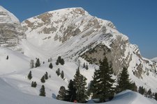
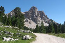
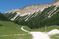
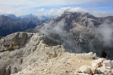
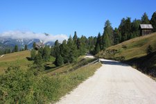
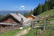
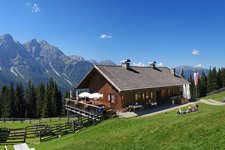
The Braies Dolomites with the Croda Rossa d’Ampezzo are delimited by the Val Pusteria, the Val Badia and the Landro valley
Image gallery: Braies Dolomites
-
-

video : Cycling tip: Valdaora to Lake Braies
-

video : Fanes-Senes-Braies Nature Park
-

video : A day at Valdaora
-

video : Hiking tip: Mt. Croda del Becco in Braies
-

video : Sunrise on Mt. Specie
-

video : Lake Braies as seen from above
-

video : A night at Lake Braies
-

video : Prato Piazza
-

video : Lake Braies
-

video : Braies
-

video : Mt. Plan de Corones as seen from above
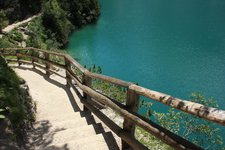
The Braies Dolomites, a subgroup of the Dolomites, belong to the exemplary mountain ranges of the Alps. The Braies valley is eponymous for this mountain range and snakes its way across it. At the end of this valley, there is the so-called "Pearl of the Dolomites“, Lake Braies.
The highest mountain peak of this mountain range is the Croda Rossa d'Ampezzo (3,148 m a.s.l.). Further famous peaks include Mt Picco di Vallandro (2,839 m), Mt Croda del Becco (2,810 m), Mt Piccola Croda Rossa (2,859 m), Mt Campo Cavallo Piccolo (2,594 m) and Mt Campo Cavallo Grande (2,559 m) as well as Mt Sasso del Signore (2,447 m).
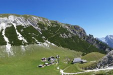
However, not only the lakeside of Lake Braies is ideal for relaxing, also the high-plateau of Prato Piazza is a very popular excursion destination in all seasons of the year. Extending at an altitude of about 2,000 m, it can be reached from Landro as well as from Braies. Both in summer and winter, the view of the Braies Dolomites from this high-plateau is breathtaking.
Highest peak: Croda Rossa d'Ampezzo (3,148 m a.s.l.)
Territory: South Tyrol, Belluno


