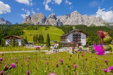
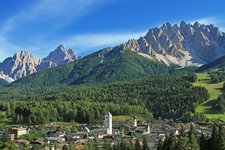
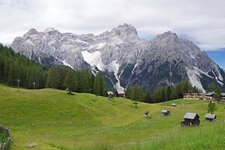
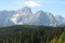
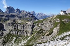
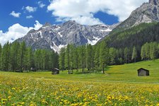
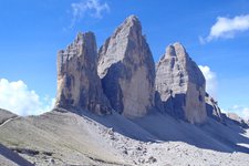
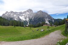
The Sesto Dolomites with the famous Three Peaks of Lavaredo represent the north-east border of the Dolomites
Image gallery: Sesto Dolomites
-
-

video : Dobbiaco
-

video : San Candido
-

video : Sesto
-

video : Pure: Biking in the Dolomites
-

video : Three Peaks as seen from above
-

video : Val Fiscalina in Sesto
-

video : Val Fiscalina - Three Peaks Nature Park
-

video : A night at the Three Peaks of Lavaredo
-

video : Bellum Aquilarum open-air museum
-

video : Hiking tip: Three Peaks of Lavaredo
-

video : Via Ferrata Torre di Toblin
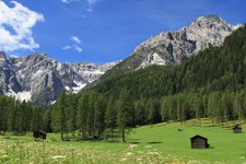
The Sesto Dolomites in the High Pusteria valley represent the northeast border of the Natural World Heritage site of the Dolomites. In the west, however, the natural border is represented by the Landro valley. This is also where the mountain range meets the Braies Dolomites. In WWI, the Sesto Dolomites were venue for several battles between Italian and Austrian troups. Still today traces of these battles are visible in these mountains.
The most famous rock formation of the Sesto Dolomites in the homonymous nature park are undoubtedly the Tre Cime di Lavaredo (2,999 m a.s.l.), located at the border to the Italian province of Belluno. Above all their northern perspective is world-famous. Other well-known mountains are Mt Cima Tre Scarperi (3,145 m), Mt Croda dei Toni (3,094 m), Mt Croda dei Baranci (2,943 m), Mt Paterno (2,744 m) and the Rocca dei Baranci (2,966 m), a well-known skiing area.
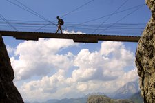
One of the most important paths in the Sesto Dolomites is a particularly frequented fixed-rope route today, the Via Ferrata degli Alpini. Some of the most popular mountain huts for hikers are called Antonio Locatelli, Lavaredo and Auronzo mountain huts.
Highest peak: Mt Cima Tre Scarperi (3,145 m a.s.l.)
Territory: South Tyrol, Belluno


