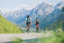
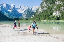
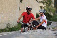
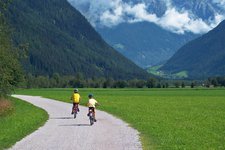
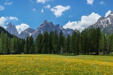
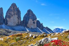
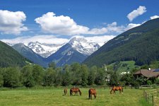
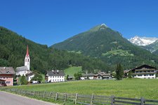
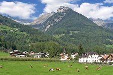
This section from Brunico to Campo Tures of the Pusterbike Cycle Path can be recommended for families with children
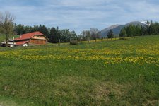
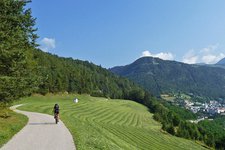
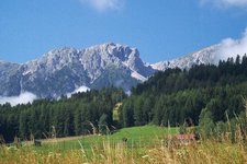
Image gallery: Pusterbike Cycle Path of the Tures and Aurina valleys
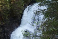
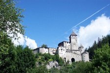
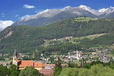
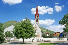
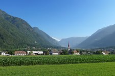
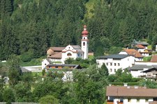
Starting at Brunico (835 m a.s.l.) the cycle route follows the Andreas Hofer Road towards north. At the level of the village of San Giorgio it separates from the Tures Road and leads through the fields to Gais. Past the bathing pond, through the small commercial area and then following the Aurino river the path proceeds further into the valley. Past the village of Villa Ottone towards Caminata di Tures, after the church the cycle path crosses the Aurino river and proceeds through the fields to Campo Tures. This is the main village of the Valle Aurina, from here the Riva Waterfalls with the St Francis' Path or the beautiful Tures Castle are easily accessible.
After Campo Tures the cycle route leads along farm and forest paths further to the Aurina valley to Drittelsand and Lutago (1,000 m). The further course through the villages of the Valle Aurina has not been completed yet, but several sections until Cadipietra and San Giacomo are already passable. Until Campo Tures the cycle path proceeded nearly flatly, now more and more metres in altitude have to be managed.
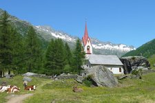
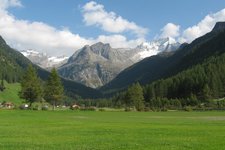
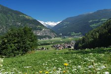
But one is rewarded by the gorgeous alpine landscape. Those who want to cycle until the head of the valley can drive along the valley road to Casere near Predoi and further up to the 1,630 m high located Holy Spirit Church (the last section is not asphalted).
Connection to other cycle routes:
- Pusterbike Cycle Path (continuation, Brunico towards San Candido and Lienz)
- Pusterbike Cycle Path (continuation, Brunico towards Fortezza and Bressanone)
-
- Starting point:
- Brunico, old town (835 m a.s.l.)
-
- Time required:
- 01:30 h
-
- Track length:
- 21,1 km
-
- Altitude:
- from 820 m to 989 m
-
- Altitude difference:
- +175 m | -10 m
-
- Signposts:
- Pusterbike Tures and Aurina valleys
-
- Destination:
- Campo Tures (865 m asl), Casere (1,600 m a.s.l.)
-
- Track surface:
- mostly asphalted cycle path, sections with gravel surface, farm- and byroads
-
- Recommended time of year:
- Jan Feb Mar Apr May Jun Jul Aug Sep Oct Nov Dec
-
- Download GPX track:
- Pusterbike Cycle Path of the Tures and Aurina valleys


