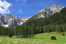
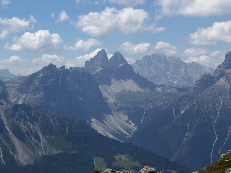
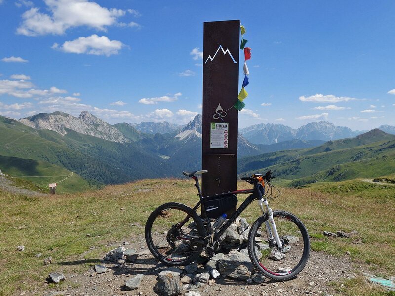
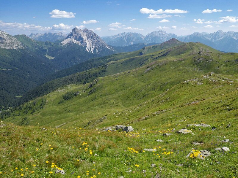
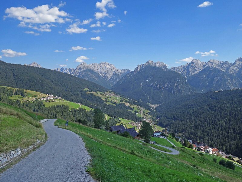
The second stage of the Stoneman Trail is known as the “Demut” passage, has a length of 35 km and passes under the summit of Mt. monte Demut (2,592 m a.s.l.). The Queen stage of the Stoneman Trail delights you with magnificent landscapes and has the highest amount of elevation gain to cover (almost 2,000 m). It begins in Sillian, leads past the Catena Carnica principale and arrives in Padola in the Veneto region
Image gallery: Stoneman Trail, 2nd stage: the “Demut”- passage
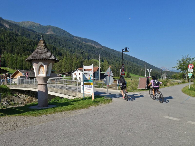
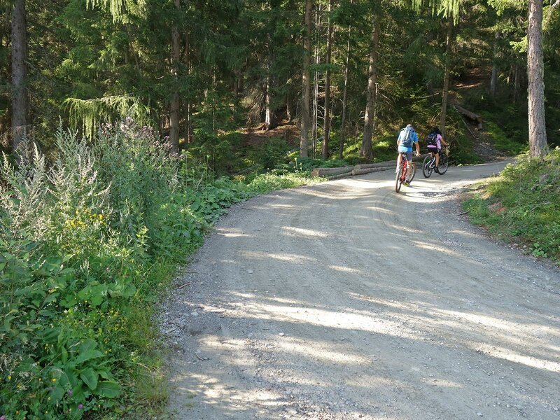
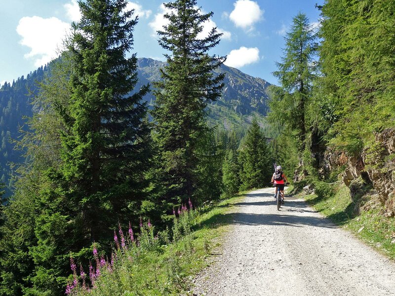
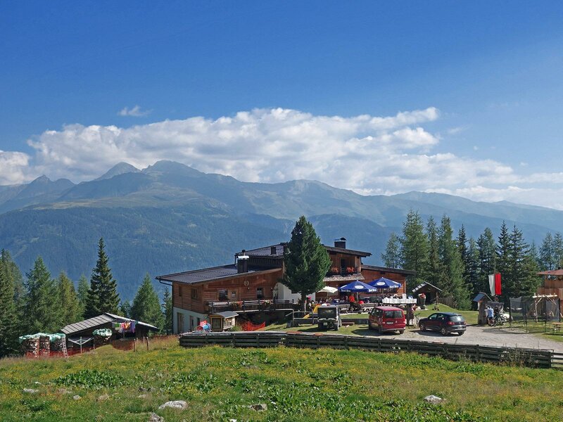
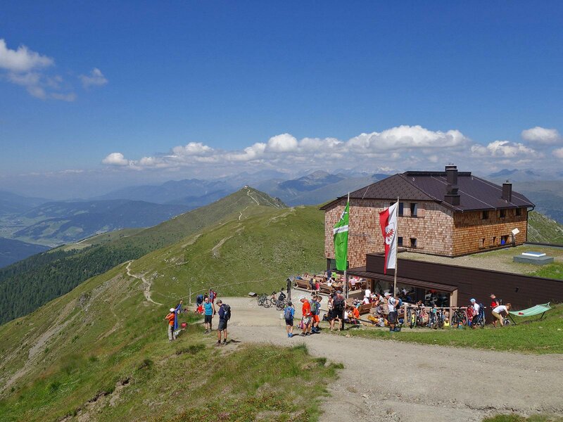
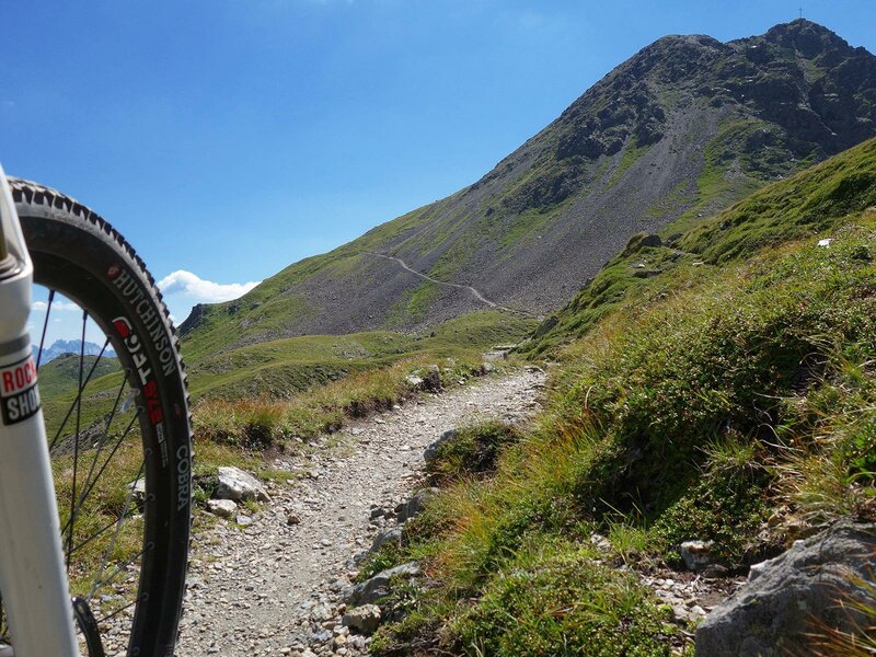
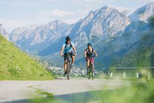
In Sillian we take the cycle path Drau-Radweg along the riverbank towards west. At the end of the village we turn left and cross a bridge towards the forest, from where the forest road (with a barrier toll to pay for cars) to the malga Leckfeld-Alm (1,920 m a.s.l.) starts. In the shadow of the forest, an elevation gain of more than 800 m is not that difficult to manage. The following section to the Sillianer Hütte (2, 455 m a.s.l.), which is shorter but steeper instead, is much more demanding. This stretch should be feasible without having to get off the bike to push it, although it can make you sweat, especially if you are under the roasting sun! The Sillianer Hütte mountain hut, the last refreshment point of this stage, is situated at the border between Austria and Italy and is the place to go to if you are looking for a delicious lunch.
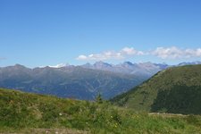
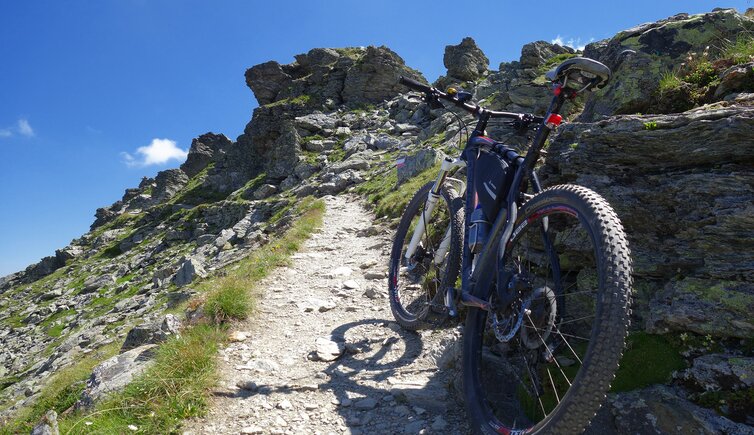
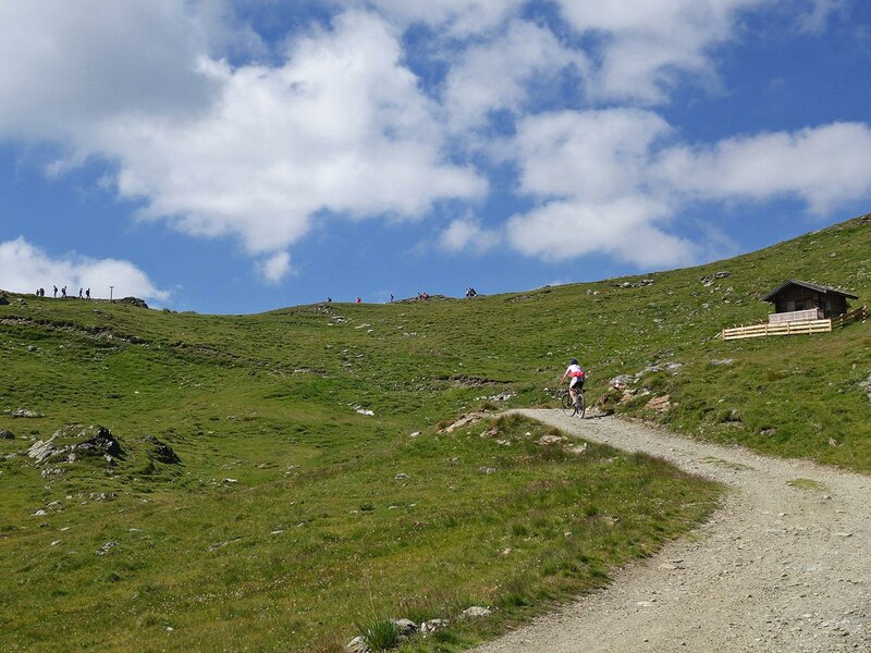
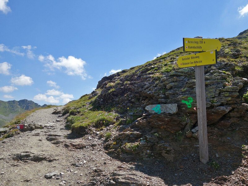
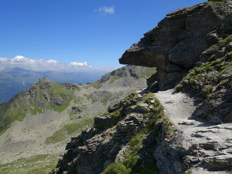
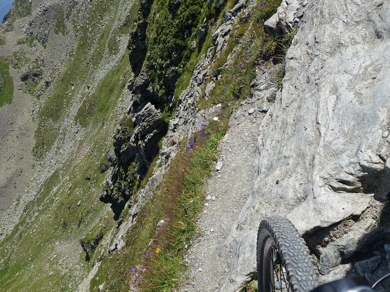
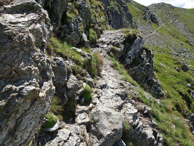
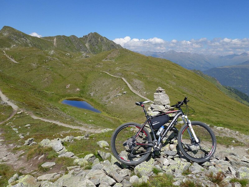
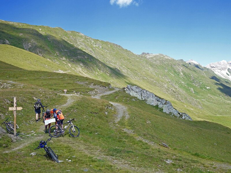
At this point we have already left behind the majority of the uphill sections of this stage, but we are not done yet. In fact, now we have to face another challenging section. At the edge of the border between Austria and Italy we continue our adventure directly at the ridge below the summits towards south-east. During the itinerary the sections below the Hornischegg, near the Hollbrucker Spitze summit and up to the Hochgräntenjoch pass are too steep for us and this is why we prefer to get off the bike and carry it over our shoulders so as not to run any unnecessary risks. After a short uphill section, we proceed downhill and the elevation gain increases by some hundreds of metres.
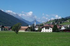
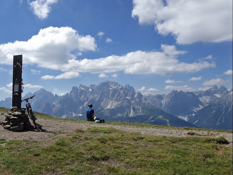
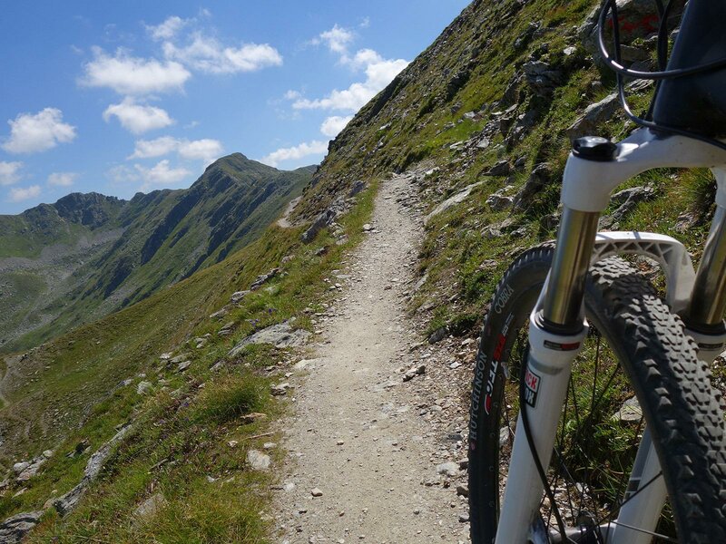
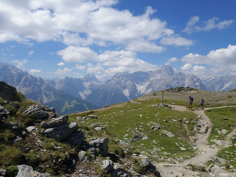
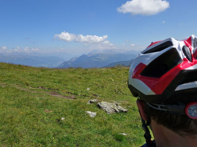
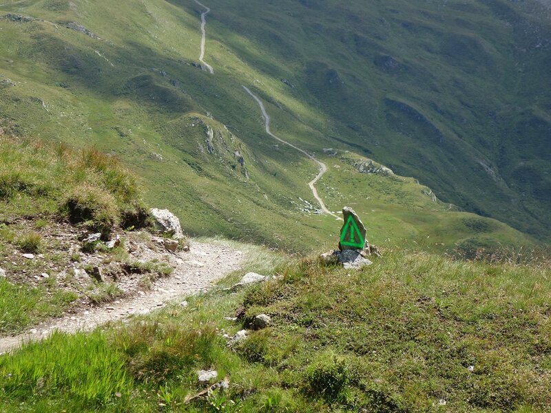
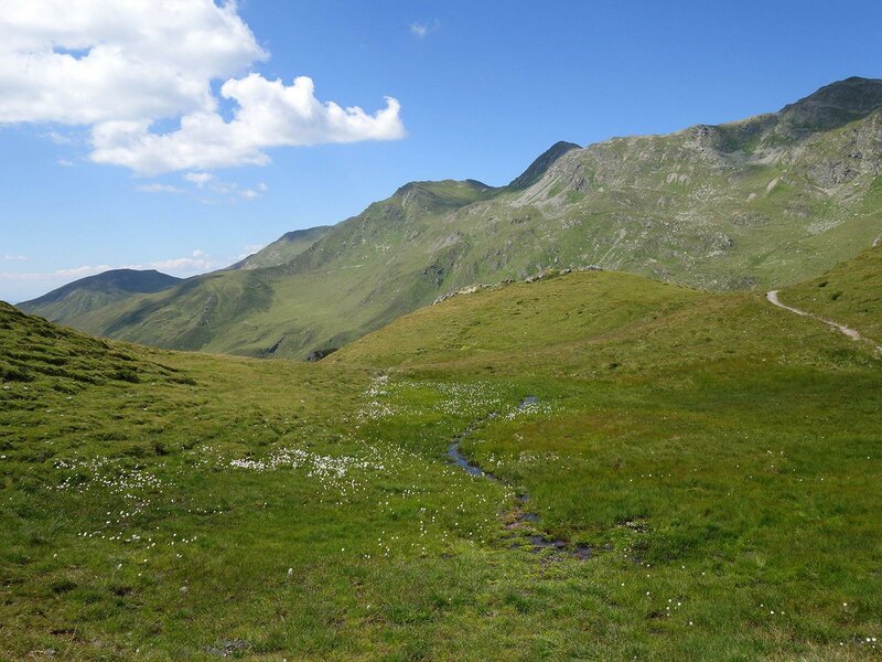
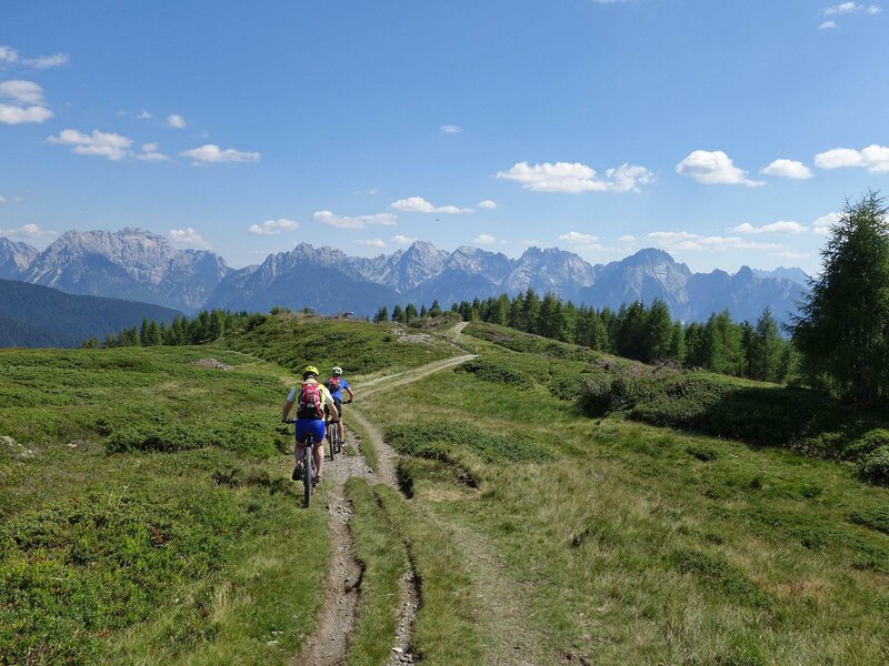
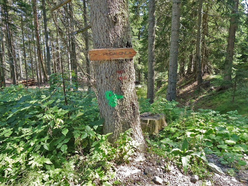
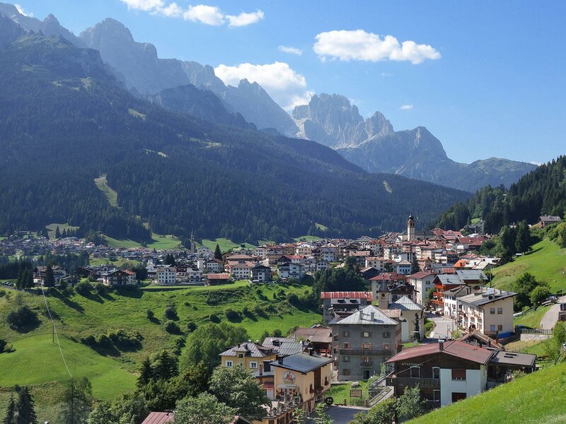
We cycle past the Hochgräntensee lake and below the Demut, we descend at first to the Rotecksattel, than we cover a hilly stretch which leads us to Passo Silvella (Kniebergsattel). Below the pyramid of passo Silvella we are already in the Veneto region and we have already crossed the border ridge between South Tyrol and East Tyrol. We are now on a side-branch of the Alpi Carniche, underneath the Colle della Crodata and the Col Rosson we proceed mostly downhill, a "flow" that moves those who have their heart in cycling. The last summit cross in this landscape which is more and more characterised by alpine meadows, is on the Monte Spina. Up there, the Single Trail is replaced by a forest road that descends to the village of Casamazzagno. From Passo Silvella on, the mountain signs of the Stoneman coincide with those of the "Pedalonga" tour, which is in part identical. Now we have only a few kilometres left until we reach Padola, the final destination of this stage. We cycle downhill from Casamazzagno, along an asphalted road and pass past Dosoledo. We are pretty sure that the magnificent landscapes of the Dolomites reward all the efforts we accomplished, as for example the strain of carrying our bikes over our shoulders while we were crossing the rock ridges some hours earlier.
-
- Starting point:
- Sillian
-
- Time required:
- 06:20 h
-
- Track length:
- 34,7 km
-
- Altitude:
- from 1.077 m to 2.648 m
-
- Altitude difference:
- +1998 m | -1786 m
-
- Route:
- Sillian - Leckfeld Alm - Sillianer Hütte - Demut-Passage - Passo Silvella - Casamazzagno - Padola
-
- Signposts:
- Stoneman Trail (Logo)
-
- Destination:
- Padola
-
- Resting points:
- Leckfeldalm, Sillianer Hütte
-
- Track surface:
- 51% single trail, 31% gravel road, 18% asphalt
-
- Recommended time of year:
- Jan Feb Mar Apr May Jun Jul Aug Sep Oct Nov Dec
-
- Download GPX track:
- Stoneman Trail, 2nd stage: the “Demut”- passage
If you want to do this tour, we suggest you to check the weather and trail conditions in advance and on site before setting out.