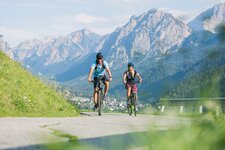
The first stage of the Stoneman Trail is 40 km long: we start from Dobbiacco (Toblach) and arrive at the Marchkinkele (2,526 m a.s.l.) from where we descend to Sillian
Image gallery: Stoneman Trail stage 1: Marchkinkele
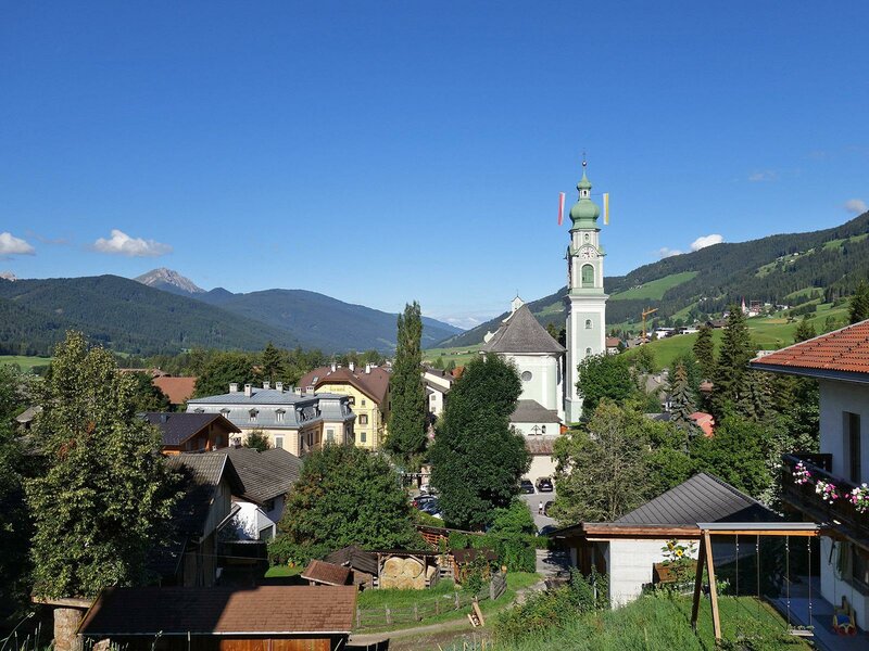
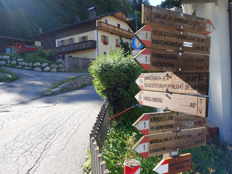
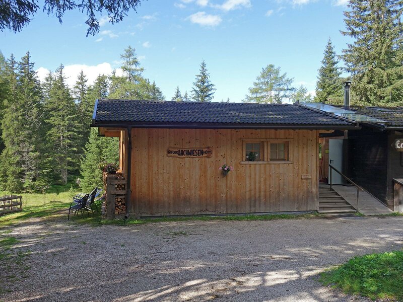
Our starting point is the village centre of Dobbiacco (1,240 m a.s.l.). There are two possible itineraries that lead up to the Cornetto di Confine Marchkinkele: you can cycle past Wahlen in the Valle San Silvestro valley or past the mountain hut Rif. Lachwiesen. The two paths meet at the crossroad Bodeneck, from where an old military road started some time ago. In this article you will find the indications for the path that passes at the mountain hut Rif. Lachwiesen. Thus, it is necessary to cover some more metres in altitude but it runs along low-trafficked roads and will reward you with breathtaking viewpoints.
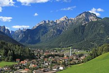
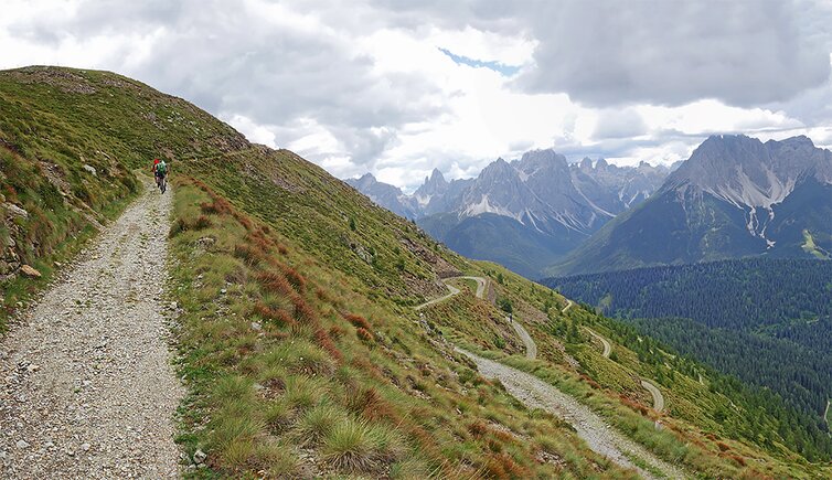
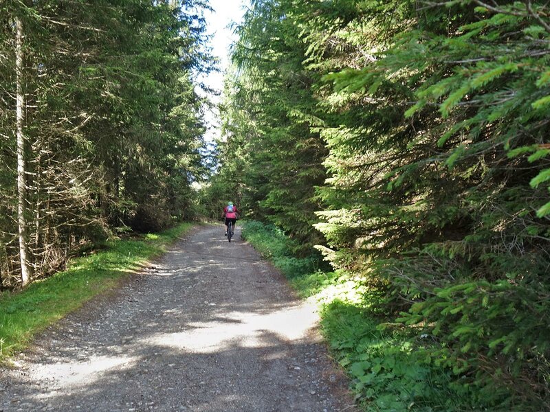
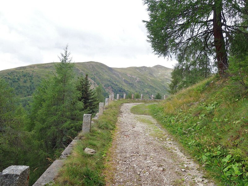
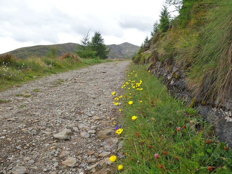
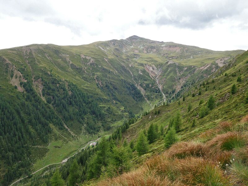
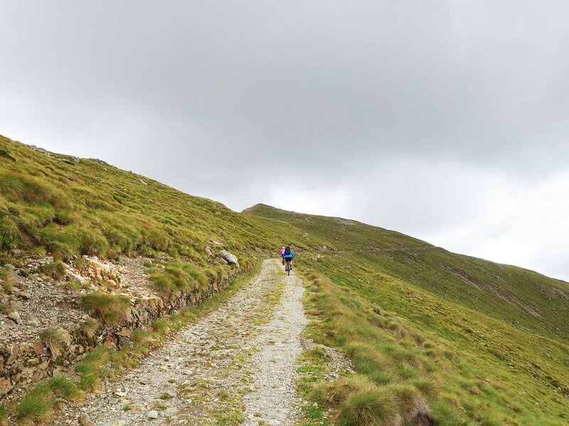
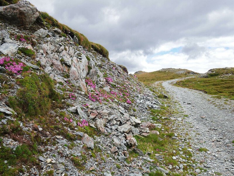
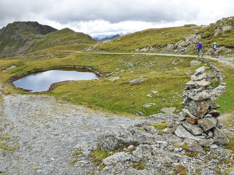
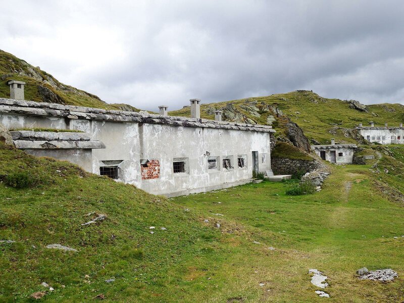
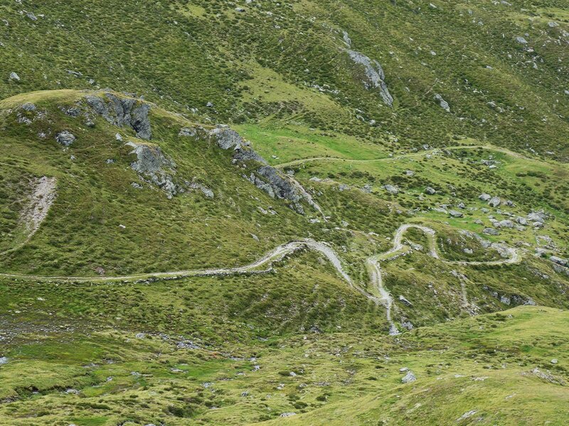
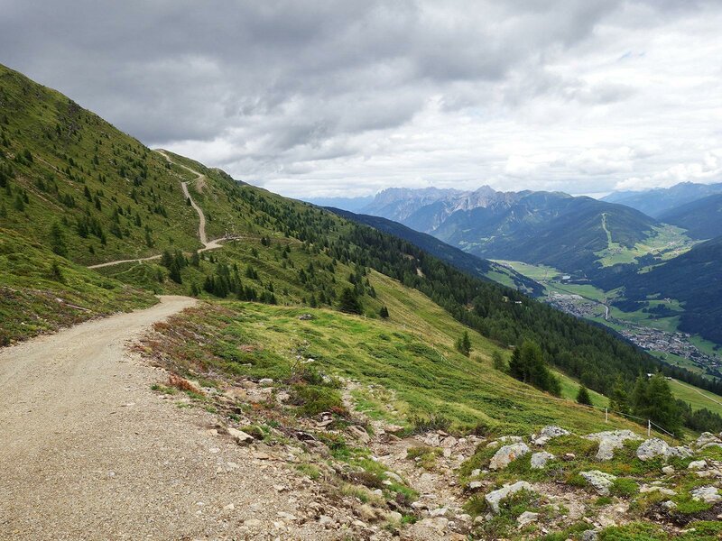
In Dobbiacco we follow the Haselberg path that proceeds uphill on the north-eastern side of the village and already after a short ride you will get a stunning view on the Alta Val Pusteria valley and the Dolomiti di Sesta and Braies. The asphalted road with its bends is also marked as a MTB itinerary (MTB-Route 024) and runs accross woods and meadows, past mountain farms and the biotope Lachwiesen, where the mountain hut Rif. Lachwiesen is situated. From there, the path continues on a forest path to the Innicher Eck (1,900 m a.s.l.) and then slightly downhill to the Bodeneck (1,809 m a.s.l.), a crossway of forest paths near the Silvesteralm mountain hut. We take the old military road to the Marchkinkele and cover more than 600 m uphill, passing by bends made of gravel and block paving.
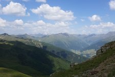
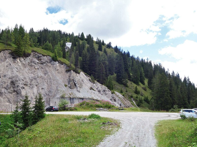
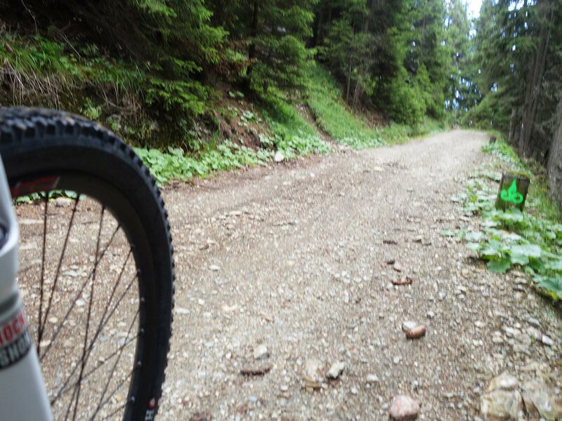
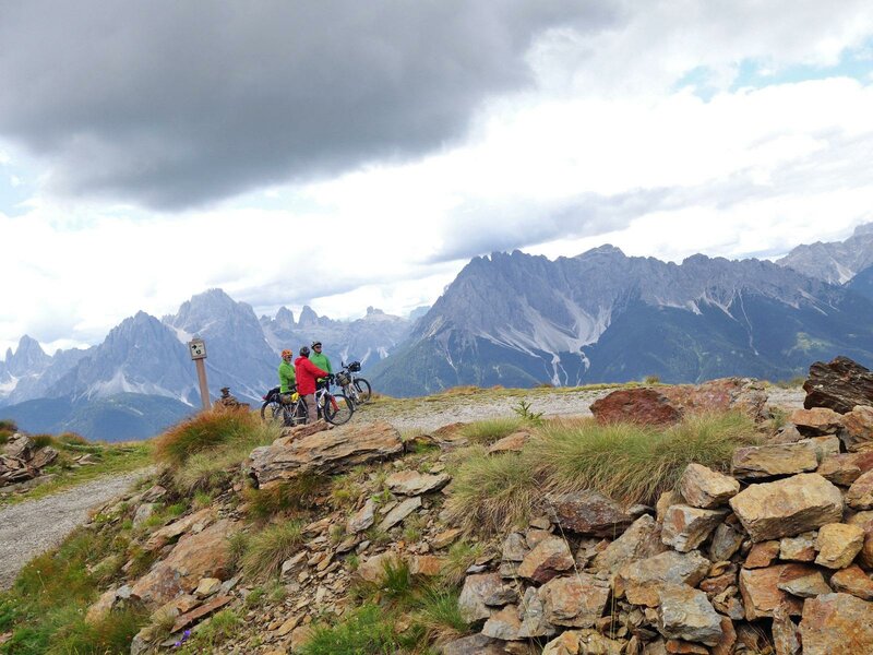
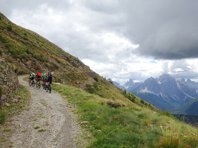
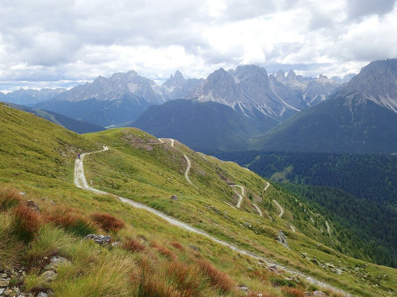
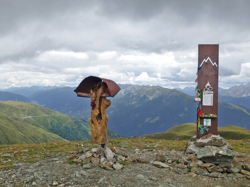
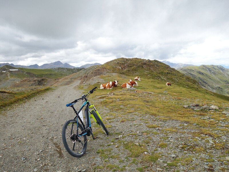
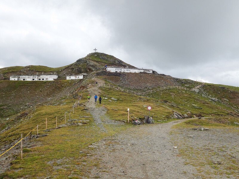
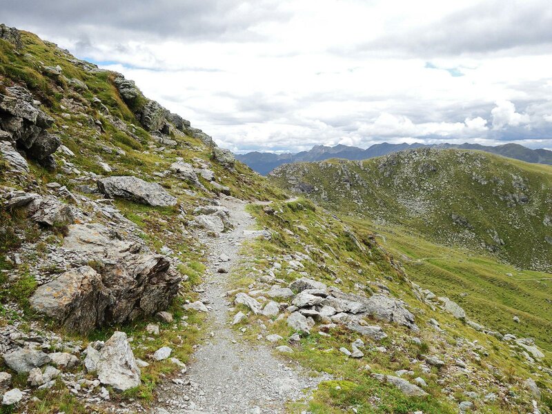
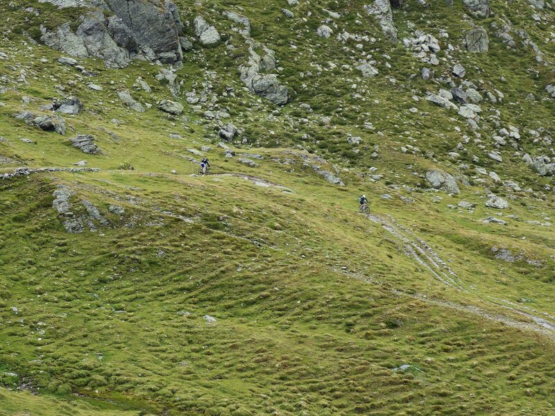
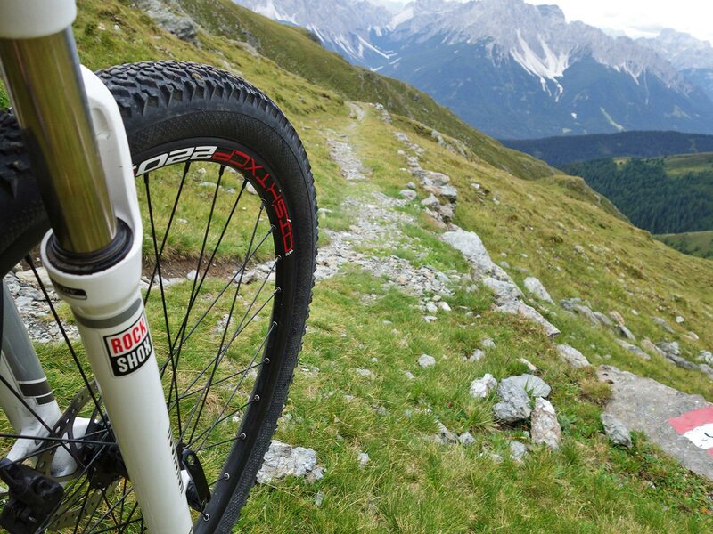
At the forest limit, the path exposed to the sun offers a stunning view on the Dolomites. The military road runs at first around the Strickberg summit, past one of the checkpoints of the Stoneman Trail, and some border monuments, then up to the summit of the Marchkinkele on an almost even road. We continue our adventure on the path that passes under the summit of the Gumriaul and leads to the lakes of the Hochrast. The military road ends exactly here and we continue downhill along the Singletrail (path n. 3). After having descended 200 m of altitude, we reach a crossroad where we take the forest path (3A) to reach East Tyrol and then we take the bends passing by some mountain farms until we reach Arnbach (Austria). In the valley the road meets the cycle path Drau-Radweg and after 4 km we reach Sillian (Austria), the final destination of this stage.
-
- Starting point:
- Dobbiaco
-
- Time required:
- 04:30 h
-
- Track length:
- 40,4 km
-
- Altitude:
- from 1.081 m to 2.526 m
-
- Altitude difference:
- +1381 m | -1540 m
-
- Route:
- Dobbiaco - Innichner Eck - Marchkinkele - Arnbach - Sillian
-
- Signposts:
- Stoneman Trail (Logo)
-
- Destination:
- Sillian
-
- Resting points:
- Lachwiesen Alm, Marchhütte mountain hut
-
- Track surface:
- 62% gravel road, 4% single trail, 34% asphalt
-
- Recommended time of year:
- Jan Feb Mar Apr May Jun Jul Aug Sep Oct Nov Dec
-
- Download GPX track:
- Stoneman Trail stage 1: Marchkinkele
If you want to do this tour, we suggest you to check the weather and trail conditions in advance and on site before setting out.