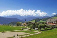
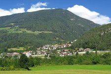
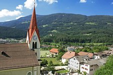
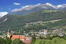
The Sun Road in the Pusteria valley connects Brunico and Vandoies - a hint for a comfortable bike ride
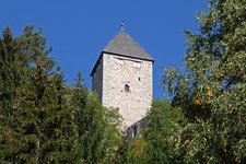
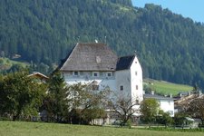
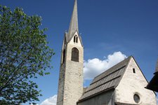
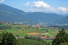
Image gallery: Val Pusteria Sun Road
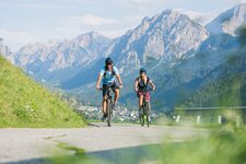
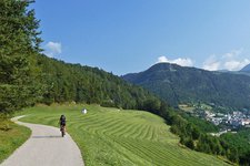
Brunico, main town of the Val Pusteria, is starting point of our cycle tour along the Sun Road. At the train station we start towards Stegona, where we reach the roundabout at the St Nicholas Church. We cross the bridge over the Rio Aurino and turn into the Sun Road on the westerly riverbank towards Falzes. We leave the town behind us, the road proceeds uphill through the forest. After a while we can enjoy a beautiful view on the sunny meadows and fields of Falzes.
Past Issengo we cycle to Molini with Castel Schöneck and further uphill through the woods to Corti and Moso. A few km further - having passed the hamlets of Pichlern, Ast and Enderast - we reach the highest point of our cycle tour today, an altitude of 1,245 m a.s.l. near Terento.
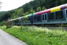
Now we cycle down the road to Vandoies di Sotto, where the Val Pusteria Sun Road ends. About 550 m in altitude and 26 km we have managed. To come back to Brunico again, there are two other possibilities: via the Val Pusteria Cycle Path (Pusterbike, access in Vandoies) or with the Pustertal Railway, named Flirt (Vandoies train station).
Please note: if you do this tour with children, please pay attention to the traffic. The road is not heavily travelled but as it is the only access to Falzes and Terento, cars, trucks and buses pass by.
Author: AT
-
- Starting point:
- Brunico train station
-
- Time required:
- 02:00 h
-
- Track length:
- 22,8 km
-
- Altitude:
- from 753 m to 1.280 m
-
- Altitude difference:
- +474 m | -547 m
-
- Route:
- Brunico - Stegona - Falzes - Issengo - Terento - Vandoies di Sotto
-
- Destination:
- Vandoies di Sotto / Niedervintl
-
- Track surface:
- Asphalt. Return along the Val Pusteria Cycle Path: + 18 km (about 1 hour)
-
- Recommended time of year:
- Jan Feb Mar Apr May Jun Jul Aug Sep Oct Nov Dec
-
- Download GPX track:
- Val Pusteria Sun Road
If you want to do this tour, we suggest you to check the weather and trail conditions in advance and on site before setting out.



.jpg)

