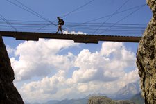
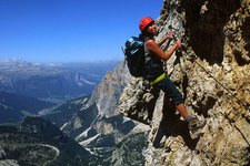
Cosy walks, circular trails, high alpine tours and fixed-rope routes - the opportunities for hikes are ideal in the Val Pusteria and its side valleys in South and East Tyrol
Image gallery: Mountains and hiking
-
-

video : Jochtal barrier-free accessible
-

video : Fundres Farm Trail
-

video : Sunrise on Mt. Specie
-

video : Summer in South Tyrol
-

video : Autumn in South Tyrol
-

video : Hiking tip: Mt. Giogo Lungo
-

video : Hiking tip: Lake Sorapiss
-

video : Hiking tip: Mt. Croda del Becco in Braies
-

video : Hiking tip: Lake Selva in the Valle Aurina
-

video : Hiking tip: Lake Colli Alti in Braies
-

video : Hiking tip: Mt. Corno di Fana di Dobbiaco
-

video : Hiking tip: Lake Maler in the Valle Aurina
-

video : Sunrise hike on Mt. Stoanamandl
-

video : Hiking tip: Tesido Mountain Hut
-

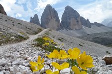
video : Hiking tip: Three Peaks of Lavaredo
-

video : Hiking tip: Lake Ponte di Ghiaccio
-

video : Via Ferrata Torre di Toblin
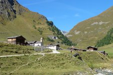
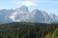
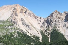
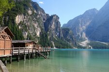
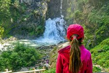
In the Val Pusteria and its side valleys - from the Zillertal Alps to the High Tauern, the Rodengo Alpine Pastures across the Plan de Corones until the Braies, Sesto and Lienz Dolomites - the alpine world along the Aurino, Drava and Isel rivers attracts many alpinists.







KOTTERSTEGER_210615_KOT_9723.jpg)