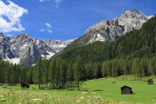
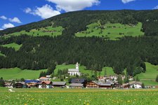
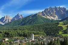
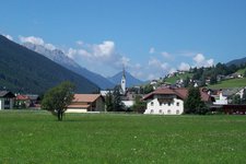
The hike takes us via the Klammbach hut to the ridge of the Carnic Alps which connects Sesto with the Lesachtal valley in East Tyrol
Image gallery: Hike from Passo Monte Croce to the Sillian mountain hut
In the early morning we drive to the Monte Croce mountain pass (1,640 m a.s.l.), which is still befogged. We follow the marker n° 131, which proceeds up to the meadows at the Sausbeerwald forest. Here we follow the marker n° 13 and then 133 towards the Klammbach mountain hut (1,940 m, also rest point). We left the timberline behind us, unfortunately the fog still damps the view on the Sesto Dolomites, but already a short time later we can catch sight on the famous Three Peaks of Lavaredo.
We follow the signposts n° 133 and 134 up to the Obermahdsattel saddle which is located just under the 2,500 m high peak of Mt Arnese. Here we have reached the Carnic High Route (n° 4), which forms the border between Italy and Austria. Towards north-west we hike to the Sillian mountain hut, where we take a break. The hut is located beneath the summit of Mt Elmo. We continue along the path n° 4 to the Gallo Cedrone mountain hut and further to the mountain station of the cable car (2,050 m), which takes us down to Versciaco in the Val Pusteria. At the valley station we take then the bus to come back to our starting point.
Author: AT
-
- Starting point:
- Passo di Monte Croce mountain pass (Sesto)
-
- Time required:
- 05:00 h
-
- Track length:
- 14,8 km
-
- Altitude:
- from 1.635 m to 2.480 m
-
- Altitude difference:
- +900 m | -486 m
-
- Route:
- Monte Croce mountain pass - Klammbach hut - Obermahdsattel saddle - Sillian mountain hut - Gallo Cedrone mountain hut - Monte Elmo Cable Car
-
- Signposts:
- 131, 13, 133, 134, 4
-
- Destination:
- Monte Elmo Cable Car station
-
- Resting points:
- Malga Klammbach Alm, Sillianer Hütte, Hahnspielhütte
-
- Recommended time of year:
- Jan Feb Mar Apr May Jun Jul Aug Sep Oct Nov Dec
-
- Download GPX track:
- Hike from Passo Monte Croce to the Sillian mountain hut
If you want to do this hike, we suggest you to check the weather and trail conditions in advance and on site before setting out.


