With a length of 19 km and a difference in altitude of 1,300 m, this hike is suitable only for trained hikers
Image gallery: From Prato alla Drava to the Pausa Alta summit
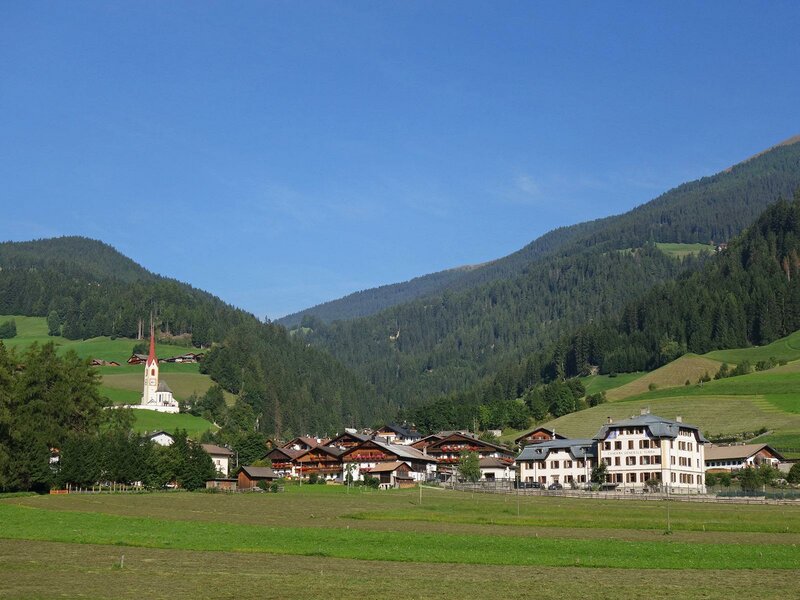
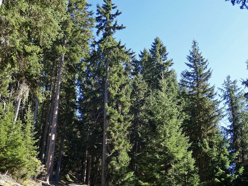
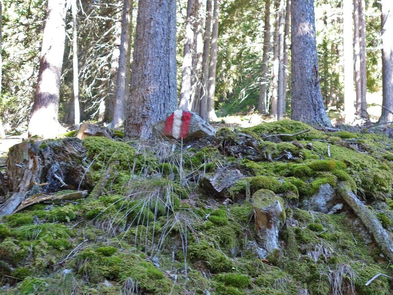
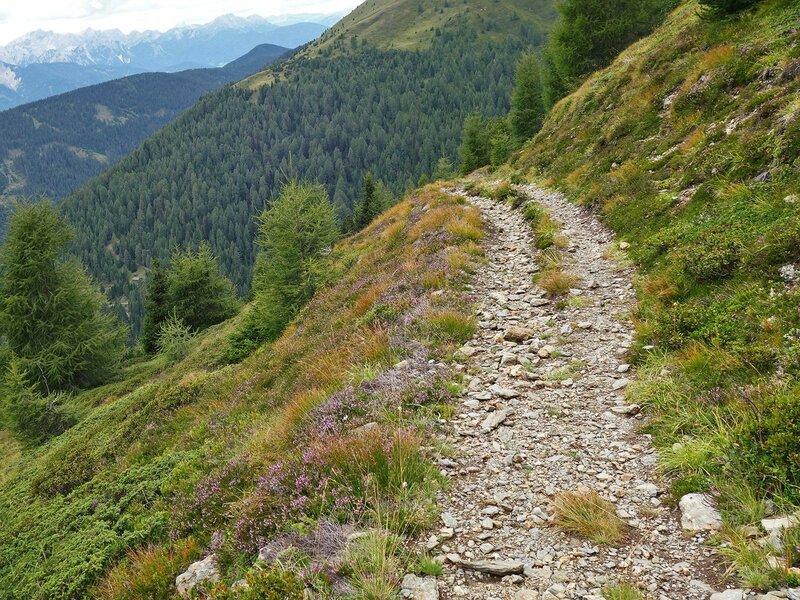
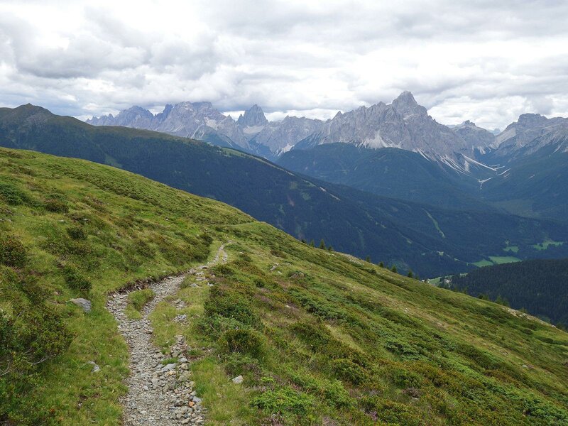
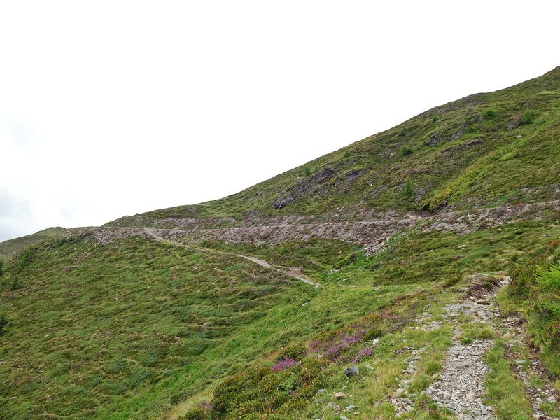
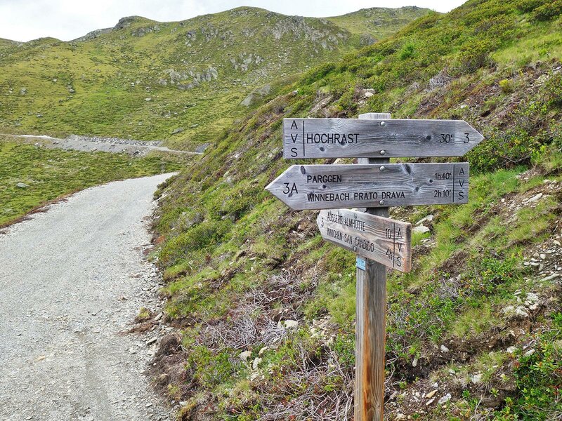
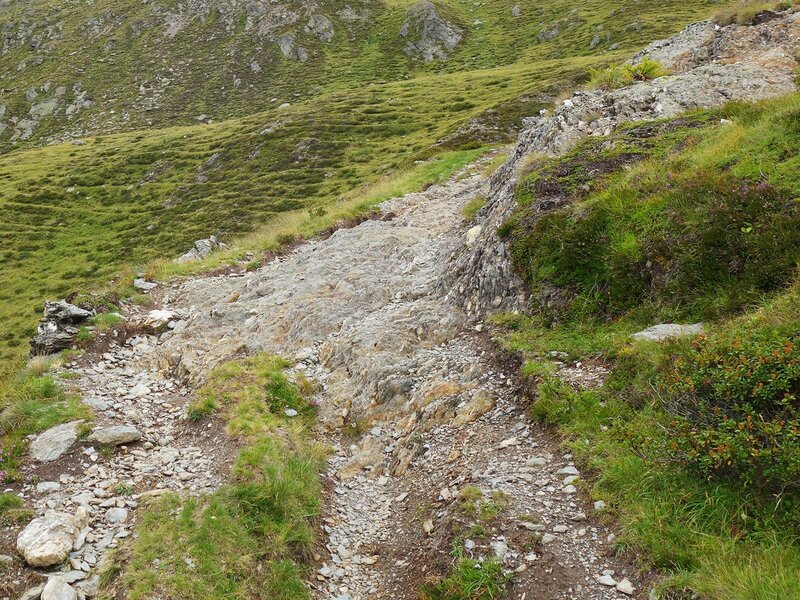
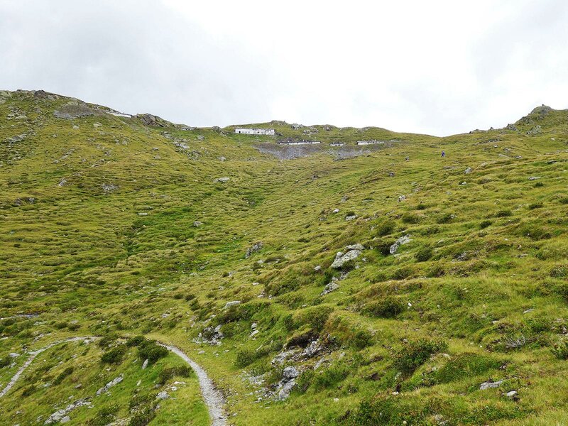
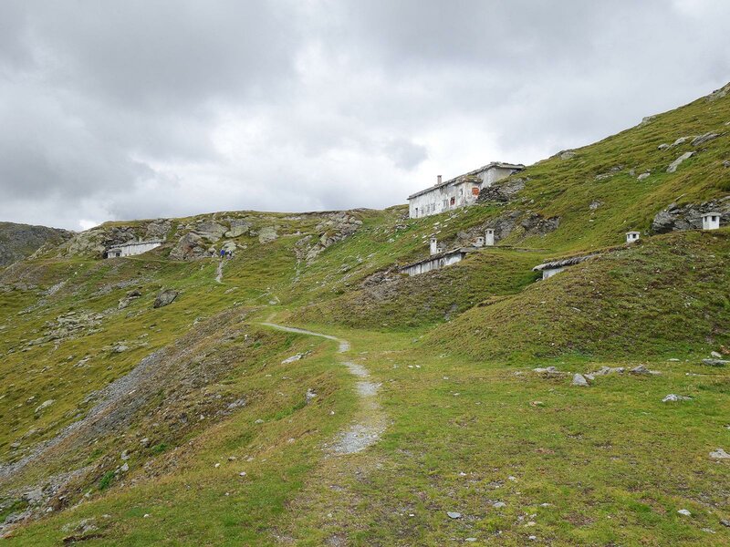
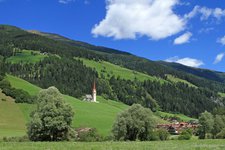
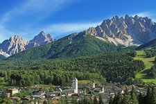
The village of Prato alla Drava, the last South Tyrolean locality before the border to East Tyrol, is the starting point of our hike to the Pausa Alta summit. In the village centre we take via Raiderberg road (path no. 3A) which leads up to the mountain farms on the slope. At the level of the Reiden-Höfe farms, a pavel forest path branches off on the right. At an altitude of 1,900 m a.s.l. we can notice how the landscape changes: the forest is replaced by steep alpine meadows. The path no. 3A proceeds uphill to an altitude of 2,200 m where it ends up in a mountain path that arrives at the mountain hut Äußere Alm.
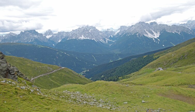
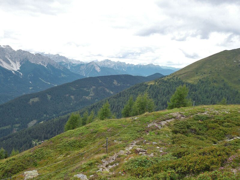
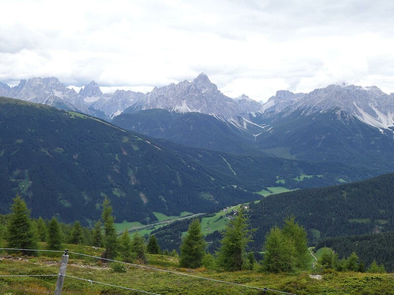
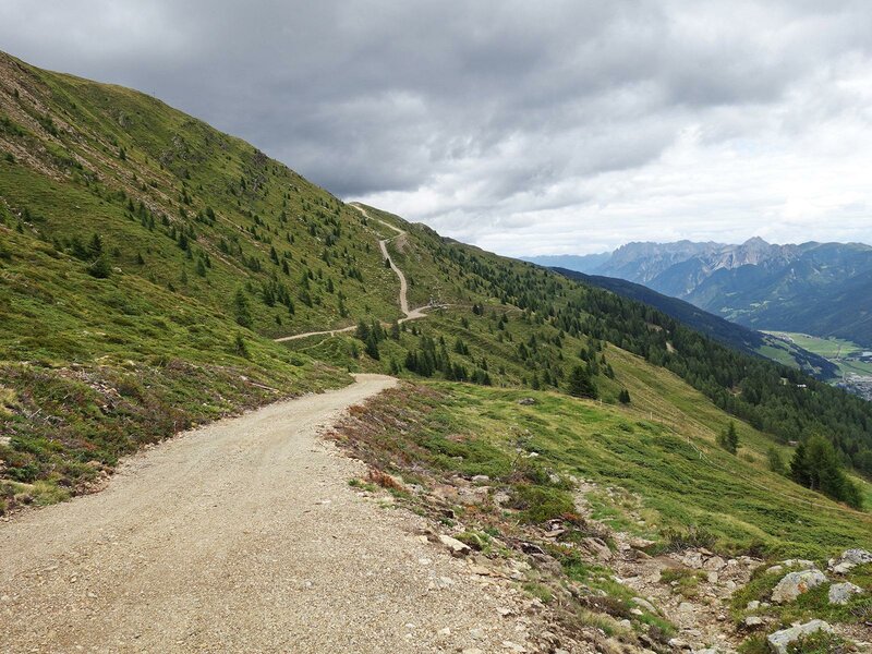
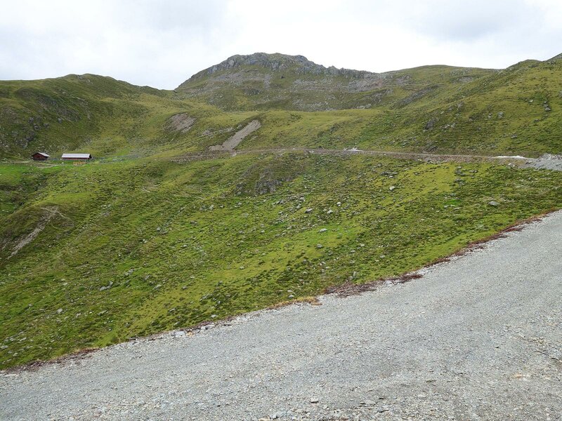
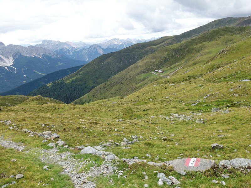
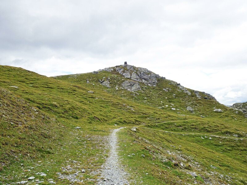
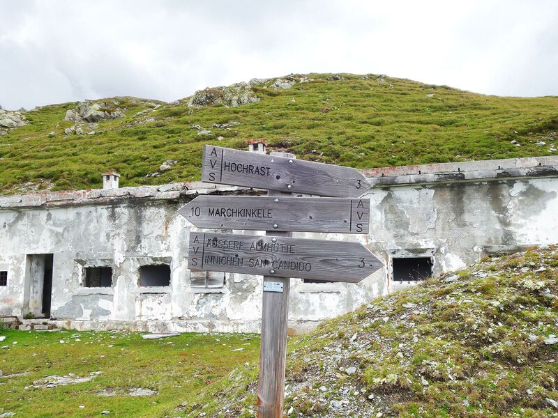
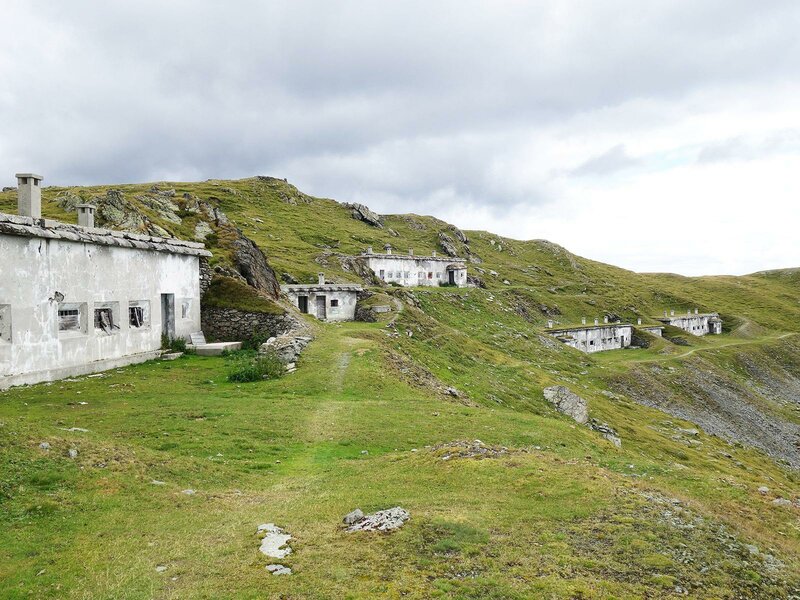
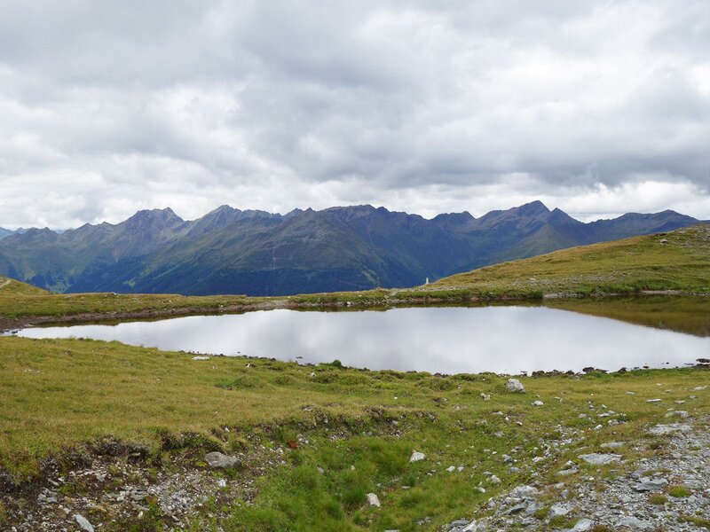
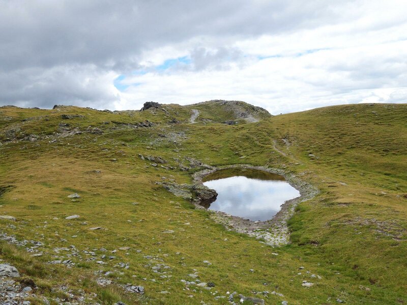
After a right bend you can choose whether to take path n. 3 that leads you directly up to the Hochrast mountain hut, or an easier but longer path that runs past the Äußere Alm mountain hut. At the Hochrast summit (2,435 m) you can enjoy a fantastic panorama: Monte Elmo and the Dolomiti di Sesto in the south, the Gailtailer Alpen mountain range in the east and the Villgrater Berge mountains in the north. It is important to note that the Hochrast is situated right at the border between Italy and Austria: in fact, on the top of it, you can still see abandoned border monuments which were used by soldiers to protect the borders of the country. Nowadays, the path Bonner Höhenweg runs along this almost invisible border. 200 m northwest of the summit, the sky reflects in two small mountain lakes.
We recommend you to start this hike early in the morning, as it is considerably long. The downhill section requires 2-3 hours. Some quite long stretches of the path are exposed to the sun. The Bonner Höhenweg path links the Hochrast summit directly to the mountain station of the cable car Thurntaler Kabinenbahn, which connects this area to the valley (locality of Panzendorf).
Author: AT
-
- Starting point:
- Winnebach (Prato alla Drava)
-
- Time required:
- 06:45 h
-
- Track length:
- 18,9 km
-
- Altitude:
- from 1.144 m to 2.435 m
-
- Altitude difference:
- +1291 m | -1291 m
-
- Signposts:
- Raiderbergweg, no. 3A, no. 3 (Hochrast)
-
- Destination:
- Hochrast (Pausa Alta)
-
- Recommended time of year:
- Jan Feb Mar Apr May Jun Jul Aug Sep Oct Nov Dec
-
- Download GPX track:
- From Prato alla Drava to the Pausa Alta summit
If you want to do this hike, we suggest you to check the weather and trail conditions in advance and on site before setting out.