This easy but extensive hike from San Candido via the San Silvestro Mountain Hut to Dobbiaco is recommended also in autumn
Image gallery: Hike through the Valle San Silvestro valley
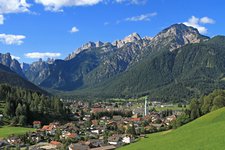
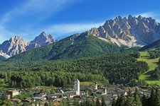
This hike leads us from the sunny slopes above San Candido and Versciaco through the Valle San Silvestro valley to the villages of Valle San Silvestro (Wahlen) and Dobbiaco (Toblach). Starting point is the village centre of San Candido where we follow the path no. 3 towards the Bodeneck saddle. After the railway underpass the path proceeds up the mountain hill, woods and meadows with sunnily located farms alternate. From the path we enjoy a nice view on the valley with San Candido and the mighty Rocca dei Baranci mountain (Haunold).
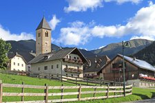
Finally the path becomes a forest road right at the highest point of the tour (1,860 m a.s.l.). Walking slightly downhill, we change to the northern side of the Bodeneck saddle straight above the Valle San Silvestro valley with view on the Gampenkofel and Marchkinkele mountains. At the following junction, below the San Silvestro Chapel, we follow the path no. 1A to the San Silvestro Mountain Hut.
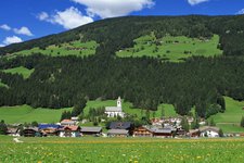
After a deserved break at the beautiful mountain hut, we take the path no. 1, a wide forest road, down the valley to Valle San Silvestro. The lower section of the path is asphalted. From the village of Valle San Silvestro it’s not far anymore to Dobbiaco where we take the train or bus back to San Candido.
Author: AT
-
- Starting point:
- San Candido / Innichen
-
- Time required:
- 05:10 h
-
- Track length:
- 15,6 km
-
- Altitude:
- from 1.170 m to 1.866 m
-
- Altitude difference:
- +720 m | -655 m
-
- Route:
- San Candido - Bodeneck pass - St. Sylvester Chapel - San Silvestro Mountain Hut - Valle San Silvestro - Dobbiaco
-
- Signposts:
- 3, 1A, 1
-
- Destination:
- Dobbiaco / Toblach
-
- Resting points:
- Silvesteralm / Malga San Silvestro
-
- Recommended time of year:
- Jan Feb Mar Apr May Jun Jul Aug Sep Oct Nov Dec
-
- Download GPX track:
- Hike through the Valle San Silvestro valley
If you want to do this hike, we suggest you to check the weather and trail conditions in advance and on site before setting out.


