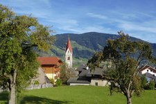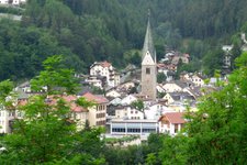
In autumn we do this walking tour through the forest and larch meadows from Spinga to the popular Rif. Anratter mountain hut
Image gallery: Hike from Spinga to the Anratter Mountain Hut
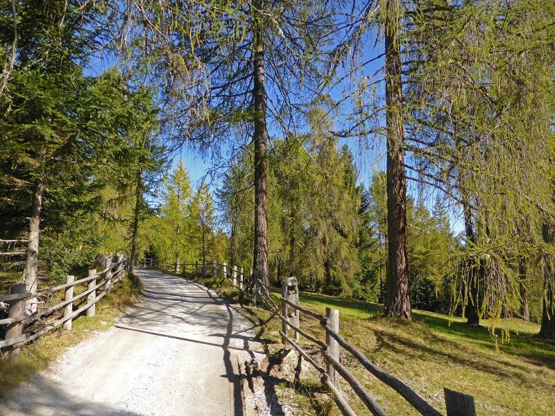
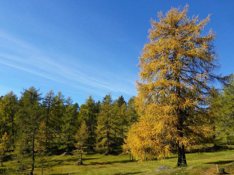
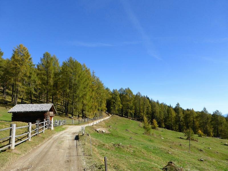
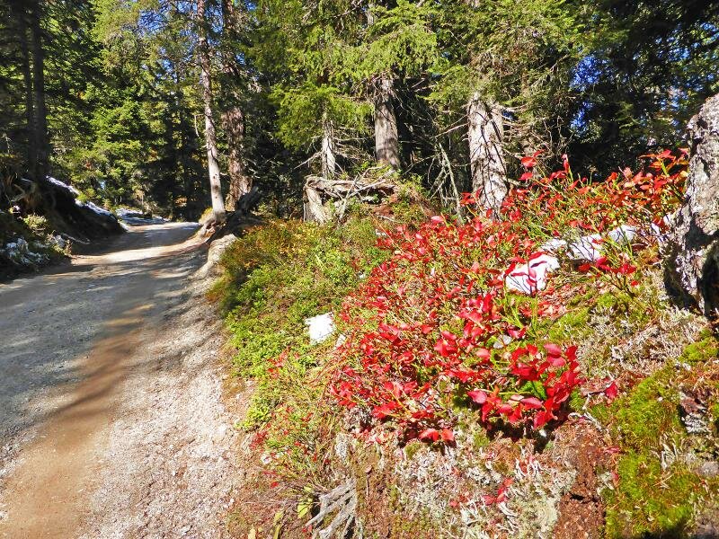

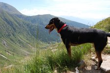
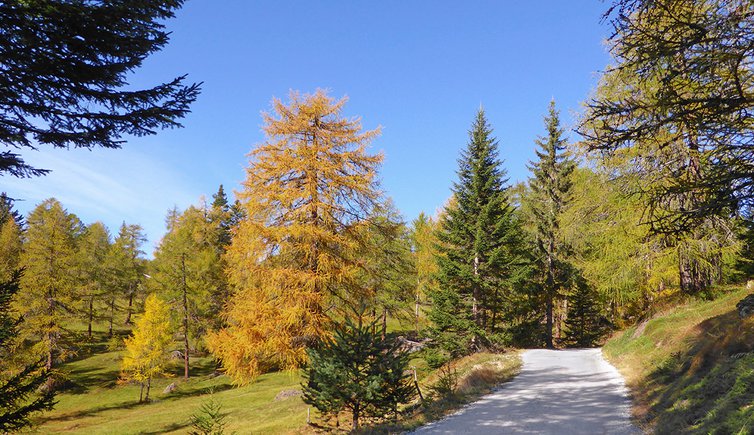
This easy hiking tour can be made all year round but we recommend you to do it in autumn when the larch meadows change colours. While walking along a forest path we cover about 6.5 km (according to the direction) and 550 metres in altitude - a challenge suitable for almost everyone.
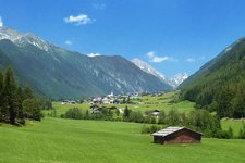
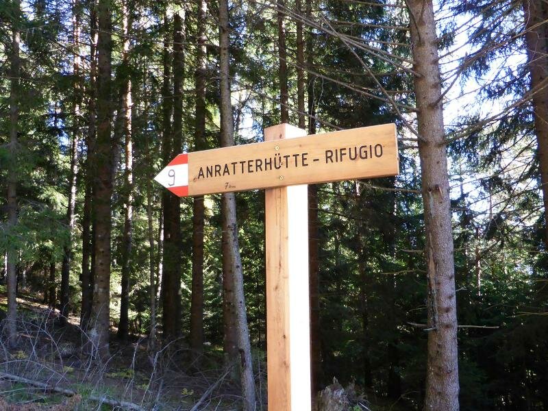
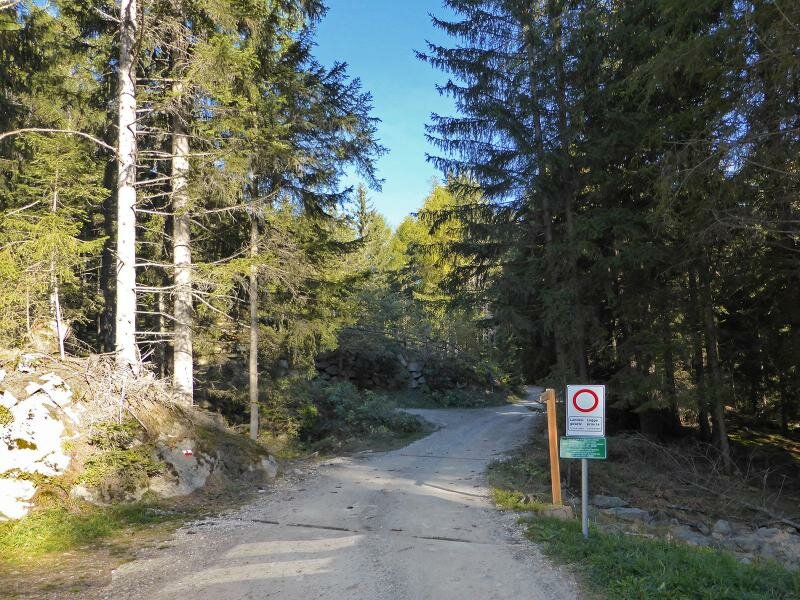
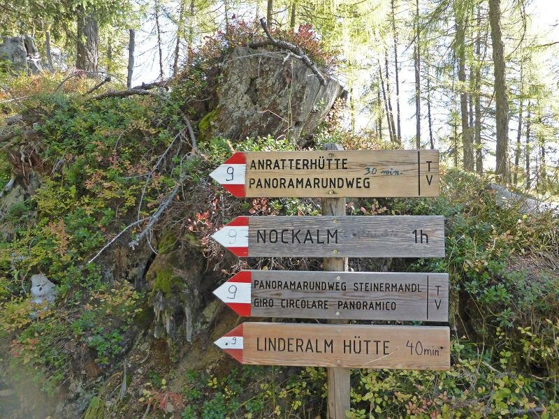
We're going on this hike in mid-October when the needles of the larches are already yellow or golden. Our starting point is the car park at the Wetterkreuz cross just above Spinga. From here we always follow the path no. 9, a forest track which leads to the Rif. Anratter mountain hut. We walk steadily uphill, from 1,350 m up to 1,830 m, a change in altitude that allows you to admire different kinds of vegetation.
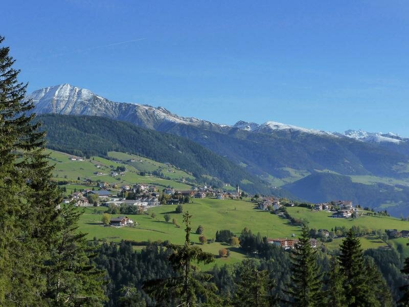
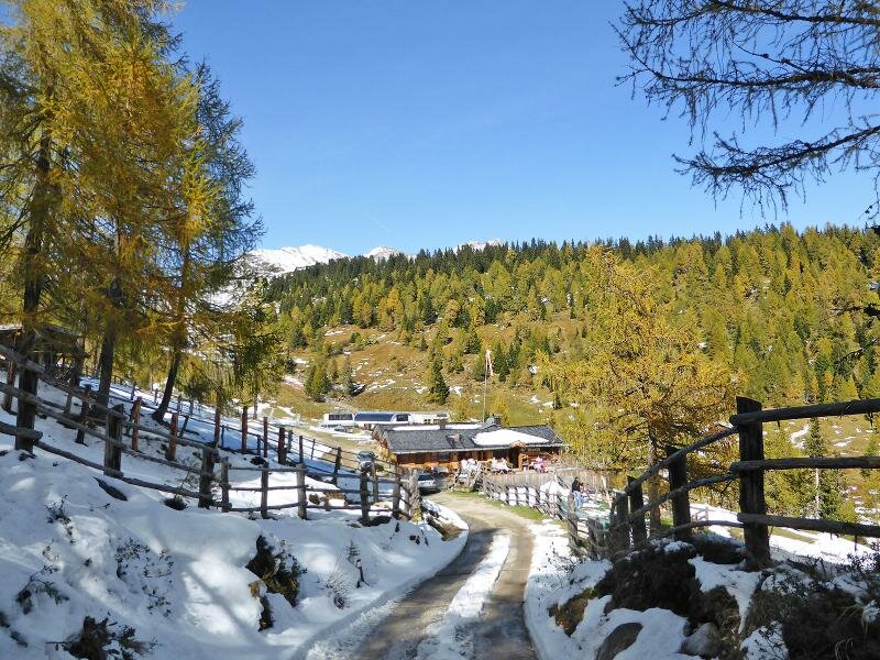
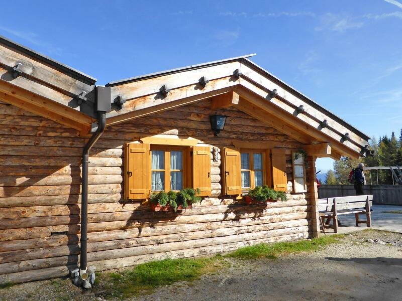
The Rif. Anratter at 1,815 m a.s.l. is among South Tyrol's most popular mountain huts and awaits us with South Tyrolean delicacies. After a rewarded break we return to the starting point by taking the same road.
Author: AT
-
- Starting point:
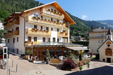
- Spinga, Wetterkreuz parking space
-
- Time required:
- 04:00 h
-
- Track length:
- 12,8 km
-
- Altitude:
- from 1.361 m to 1.831 m
-
- Altitude difference:
- +513 m | -513 m
-
- Signposts:
- 9
-
- Destination:
- Anratterhütte mountain hut
-
- Resting points:
- Anratter Hütte
-
- Recommended time of year:
- Jan Feb Mar Apr May Jun Jul Aug Sep Oct Nov Dec
-
- Download GPX track:
- Hike from Spinga to the Anratter Mountain Hut
If you want to do this hike, we suggest you to check the weather and trail conditions in advance and on site before setting out.