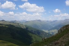
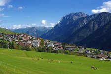
Alpine pastures, a rushing waterfall and a fantastic view on the 3,000 m high Mt. Gölbner – all of this can be experienced during this hike in the East Tyrolean Val Pusteria valley
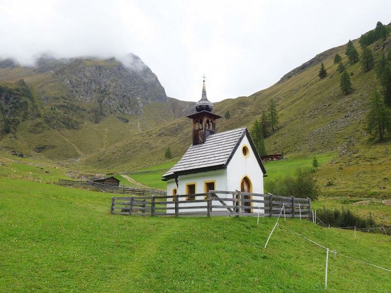
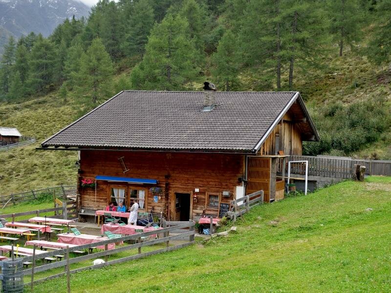
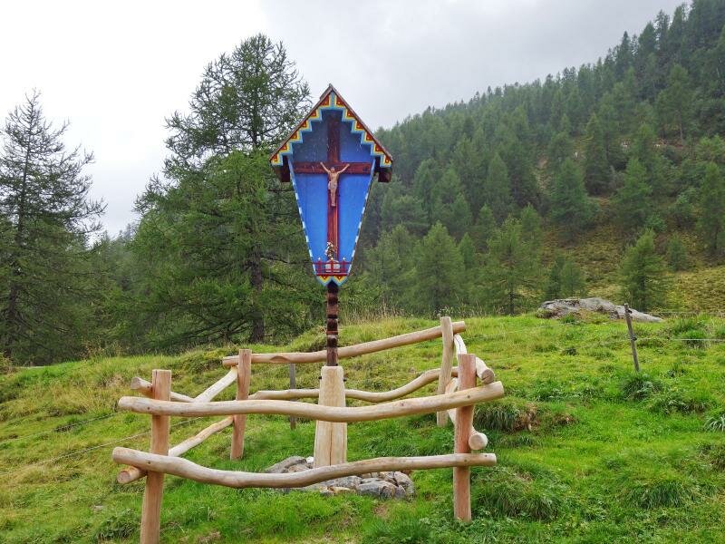
Image gallery: Through the Kristeinertal valley to the Gölbnerblick Mountain Hut
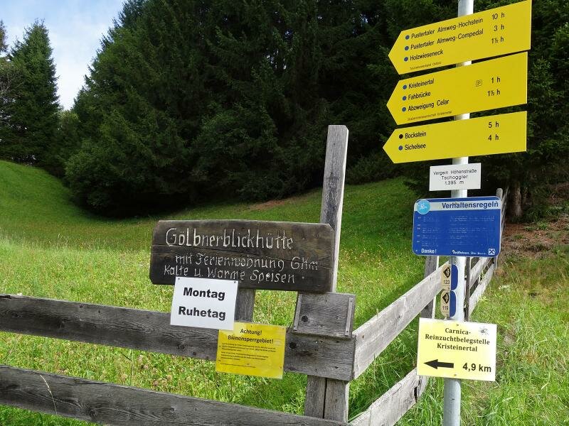
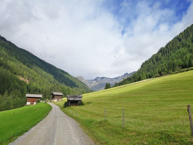
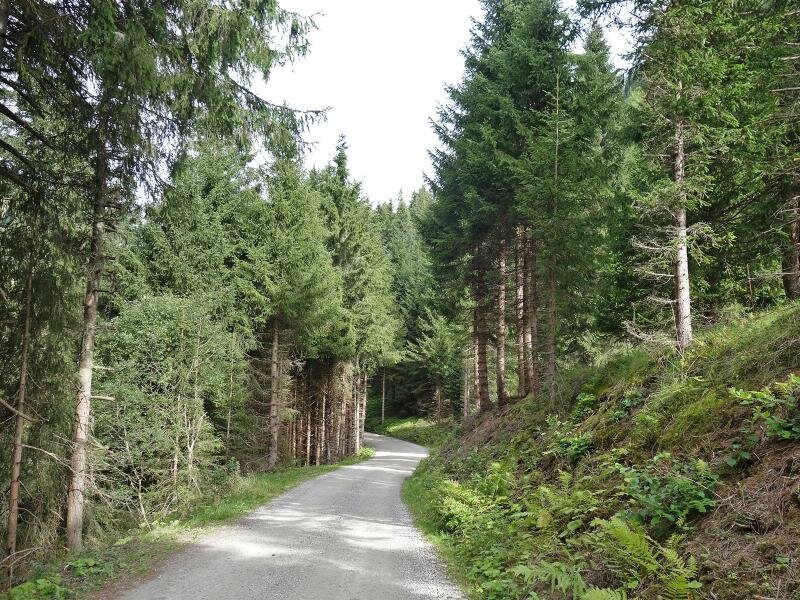
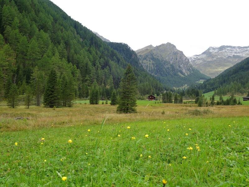
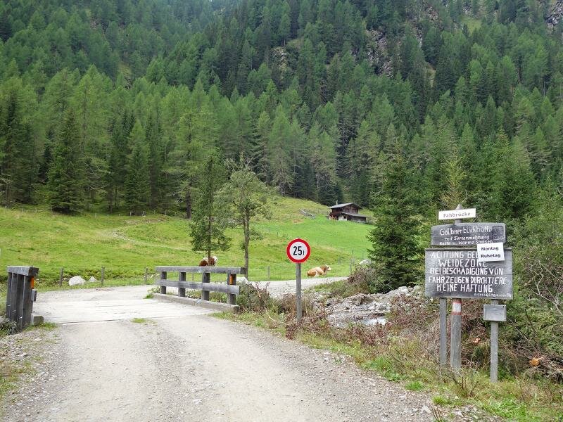
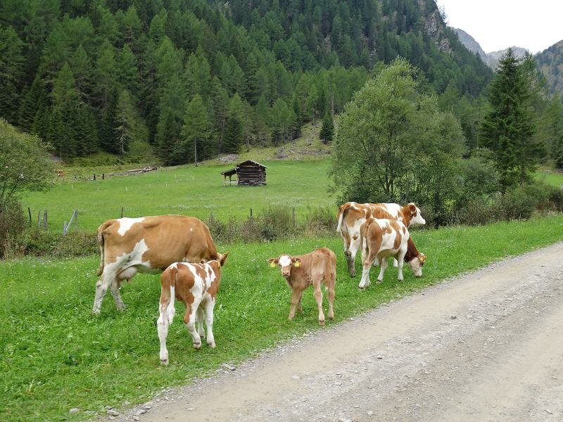
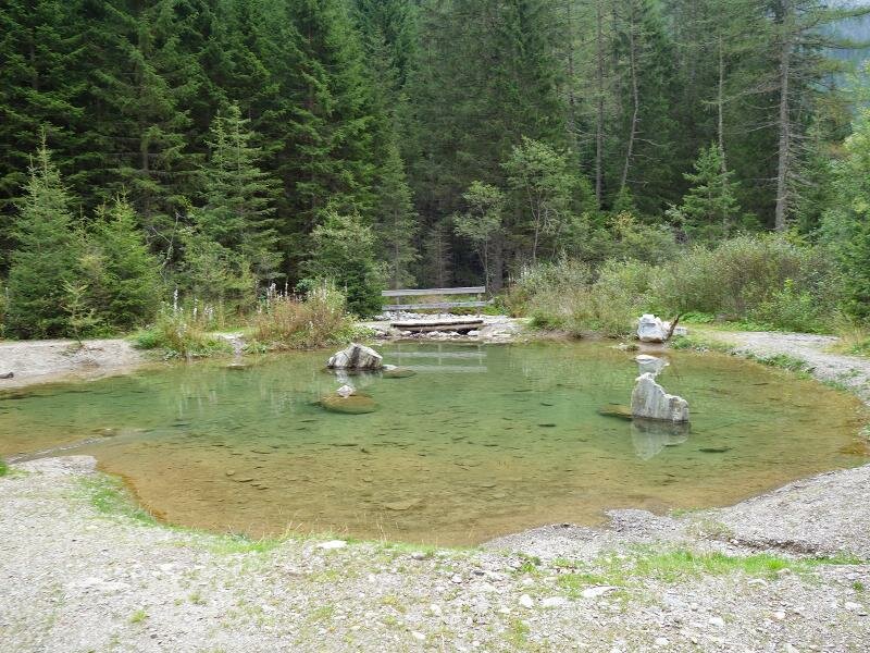
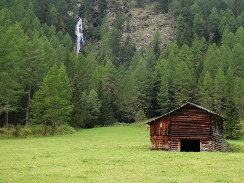
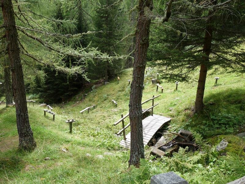
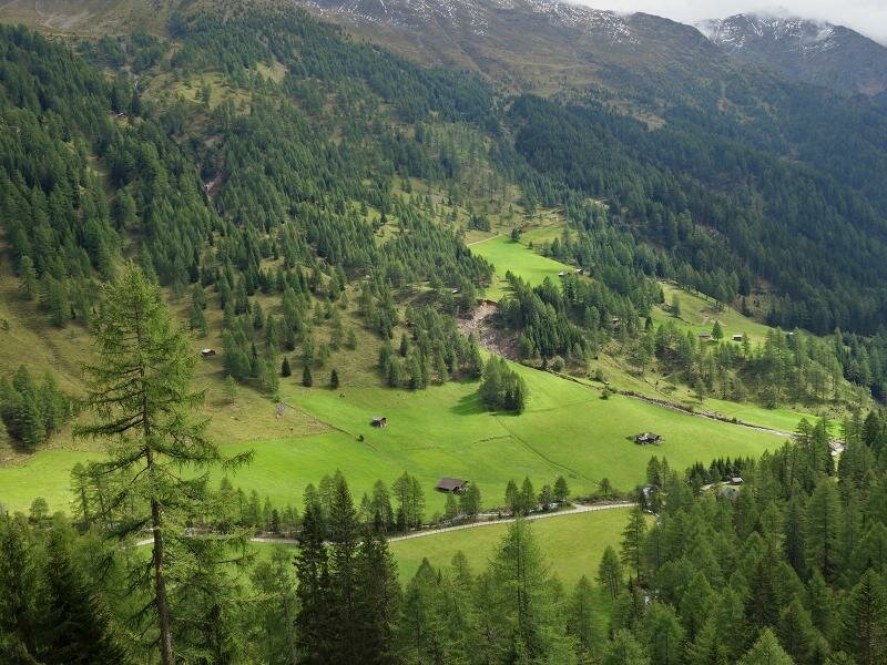
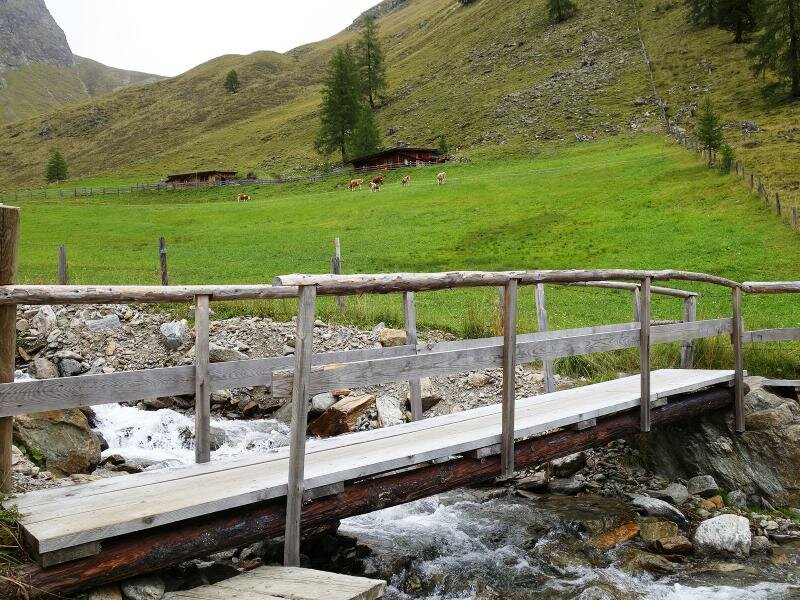
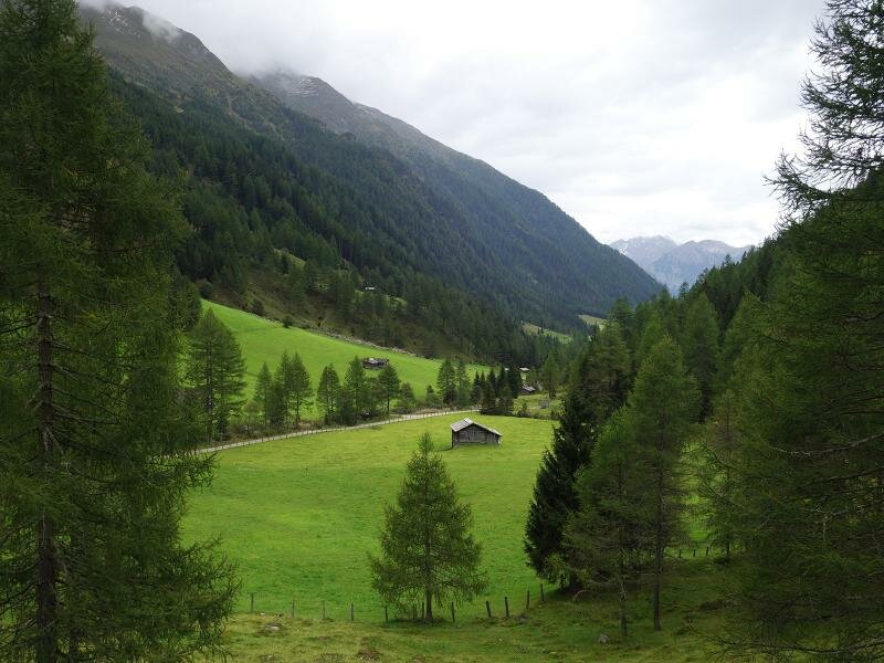
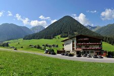
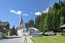
The Kristeinertal is a side valley of the Val Pusteria and stretches into the Villgraten Mountains near Mittenwald an der Drau. Our hike starts north of Vergein, at the bend of the Val Pusteria mountain road, the gravel road to the alpine pastures of the valley. Meadows and woods characterise the landscape, the path is quite flat and after approximately 4 km we cross a bridge to reach the western side of the valley and proceed towards the end of the valley, walking past the Lake Lois pond.
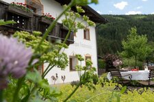
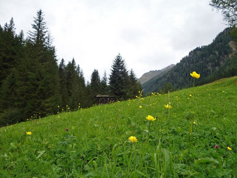
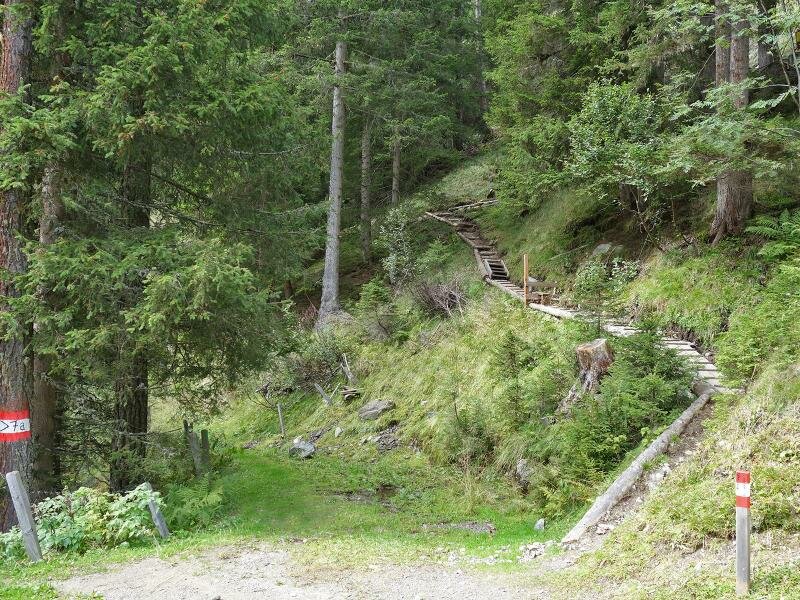
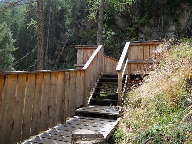
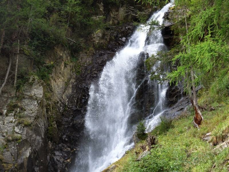
Soon the path continues towards the Celar Waterfall. The trail no. 7A which leads us to a panoramic platform at the waterfall branches to the left. Following this path further uphill, it is possible to reach the alpine meadows of Celar where the destination of our hike, the Gölbnerblick Hütte mountain hut is located. The hut is an ideal place to take a rest at while enjoying local delicacies. For the return we recommend you to take the path no. 6 which is wider and less steep than the path no. 7A.
Author: AT
-
- Starting point:
- Pustertaler Höhenstraße mountain road near Vergein, junction „Tschoggler“
-
- Time required:
- 03:10 h
-
- Track length:
- 11,4 km
-
- Altitude:
- from 1.398 m to 1.831 m
-
- Altitude difference:
- +488 m | -488 m
-
- Signposts:
- Gölbnerblickhütte, no. 7, 7a
-
- Destination:
- Gölbnerblickhütte mountain hut
-
- Resting points:
- Gölbnerblick Hütte
-
- Recommended time of year:
- Jan Feb Mar Apr May Jun Jul Aug Sep Oct Nov Dec
-
- Download GPX track:
- Through the Kristeinertal valley to the Gölbnerblick Mountain Hut
If you want to do this hike, we suggest you to check the weather and trail conditions in advance and on site before setting out.