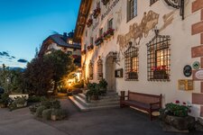
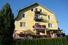
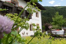
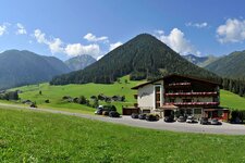
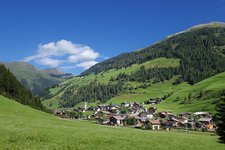
A nice walk in the Villgratner Arntal valley leads us to the Unterstaller Alm mountain hut and further to the listed alpine village Oberstaller Alm
Image gallery: To the Oberstaller Alm alpine village in Villgraten
Starting point of our hike is the Wegelate Saw at the road, which proceeds from Innervillgraten to the Unterstaller Alm mountain hut. We follow path no. 2 which partly proceeds along the asphalt road and, for a short stretch, as a parallel gravelled path towards the head of the valley. After about one hour we reach the Unterstaller Alm mountain hut (up to here the road is open to traffic). We enjoy our lunch at the hut and continue our walk on the path no. 326 up to the Oberstaller Alm alpine village.
This last section shows a noticeable ascent but it is only about 1.5 km long. The Oberstaller Alm alpine village is an ensemble of 18 rustic wooden huts with the Chapel of the Guardian Angel in the middle. Behind the huts a sustained alpine meadow landscape starts. A real fantastic spot to spend a beautiful summer day. For our way back we take the same route.
Recommendation: a few minutes walk far from the Unterstaller Alm, an observation deck is located at the waterfall of the Klapfbach brook!
Author: AT
-
- Starting point:
- Innervillgraten, Wegelate Säge
-
- Time required:
- 03:25 h
-
- Track length:
- 12,4 km
-
- Altitude:
- from 885 m to 1.878 m
-
- Altitude difference:
- +357 m | -357 m
-
- Signposts:
- 2, 326
-
- Destination:
- Oberstaller Alm
-
- Resting points:
- Unterstaller Alm
-
- Recommended time of year:
- Jan Feb Mar Apr May Jun Jul Aug Sep Oct Nov Dec
-
- Download GPX track:
- To the Oberstaller Alm alpine village in Villgraten
If you want to do this hike, we suggest you to check the weather and trail conditions in advance and on site before setting out.


