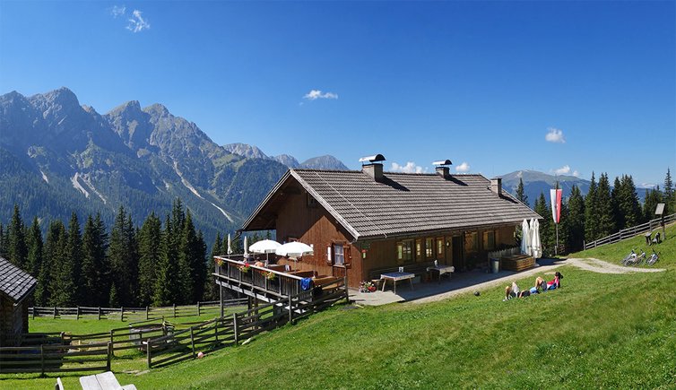
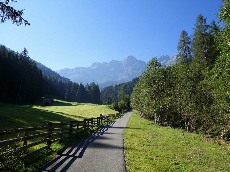
An easy but long hike brings us from Valdaora di Sopra to the meadows of the Brusada mountain hut (1,900 m a.s.l.)
Image gallery: Hike to the Brusada mountain hut
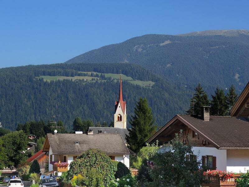
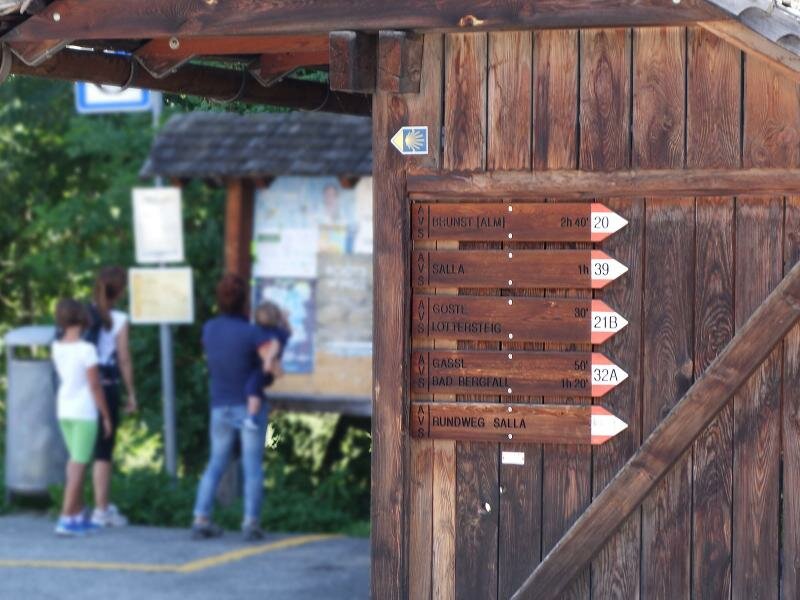
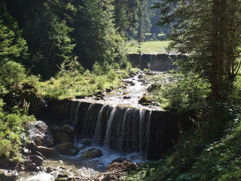
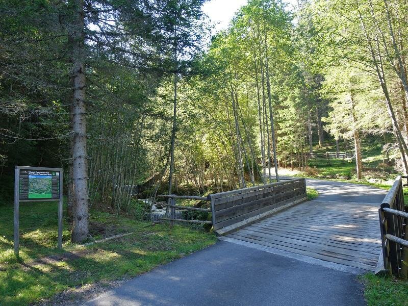
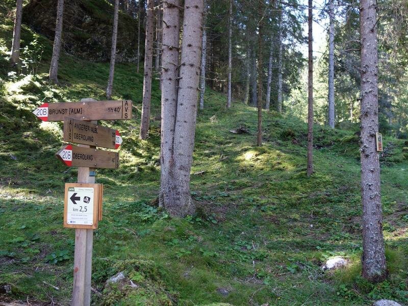
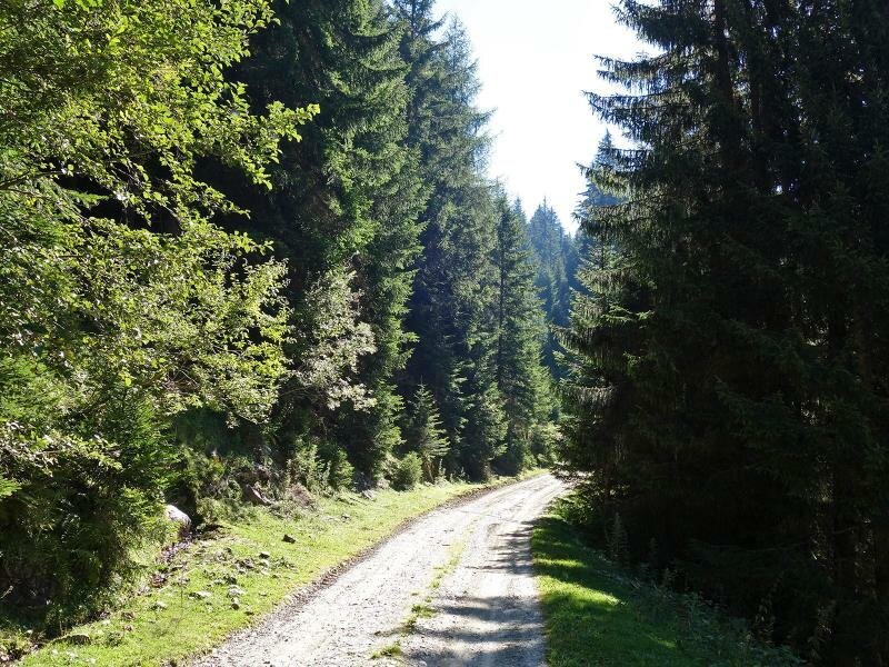
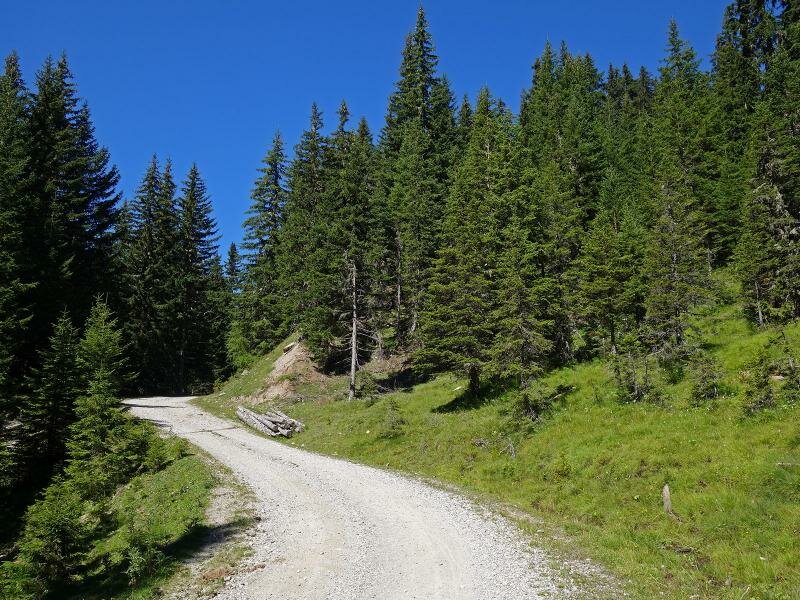
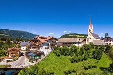
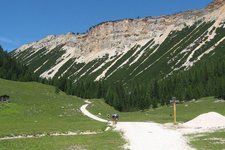
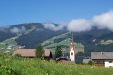
The village of Valdaora di Sopra is an ideal starting point for our hike to the Brusada mountain hut (Malga Brusada, Brunstalm in German). Starting from the village centre, we follow the path n° 20 towards south. The path proceeds slightly uphill to the Brusada valley. After having crossed Rio Brusada, the path n° 20b branches off to the right and turns into a gravel path which leads uphill to the Malga Brusada.
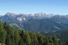
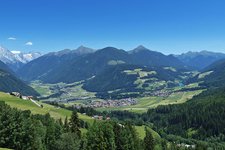
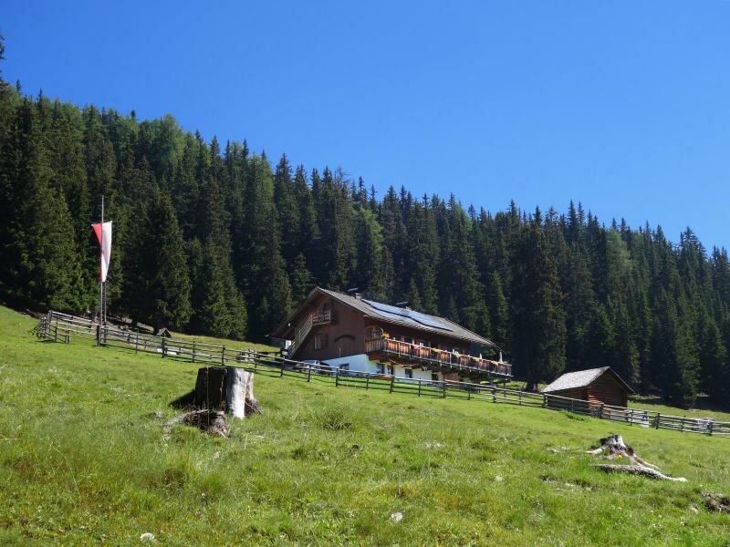
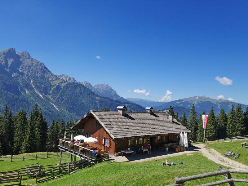
This route is about 1 km longer than the hiking trail n° 20, but less steep. After some bends we reach the meadows of the Brusada mountain hut (1,890 m a.s.l.) where you can taste South Tyrolean delicacies on a sunny meadow clearing. We take a rest and enjoy a nice view on Monte Muro and Mt Cima dei Colli Alti, two peaks of the Braies Dolomites, as well as on Mt Plan de Corones. On our way back we take the same route.
Author: AT
-
- Starting point:
- Oberolang / Valdaora di Sopra
-
- Time required:
- 03:50 h
-
- Track length:
- 14,1 km
-
- Altitude:
- from 1.079 m to 1.887 m
-
- Altitude difference:
- +808 m | -808 m
-
- Signposts:
- 20, 20b
-
- Destination:
- Brunst Alm / Malga Brusada
-
- Resting points:
- Brunst Alm / Malga Brusada
-
- Recommended time of year:
- Jan Feb Mar Apr May Jun Jul Aug Sep Oct Nov Dec
-
- Download GPX track:
- Hike to the Brusada mountain hut
If you want to do this hike, we suggest you to check the weather and trail conditions in advance and on site before setting out.