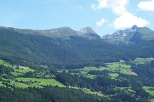
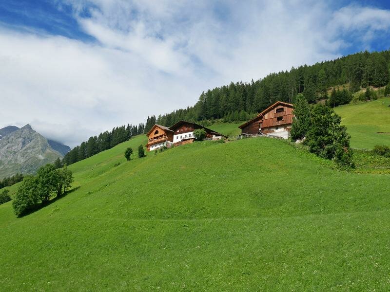
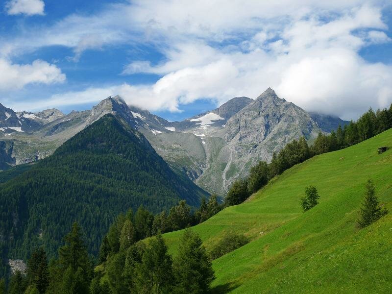
This beautiful, moderately difficult circular walk in the Valle Aurina valley proceeds along the slopes of the impressive Cima Dura Group (Durrck)
Image gallery: Hike to Lake Chiusetta and the Grossklausental valley
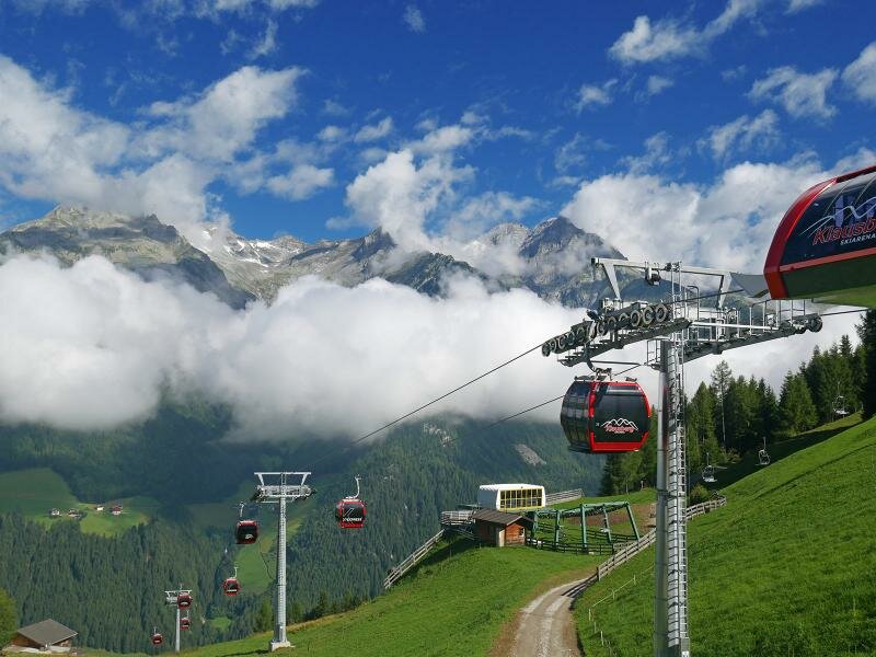
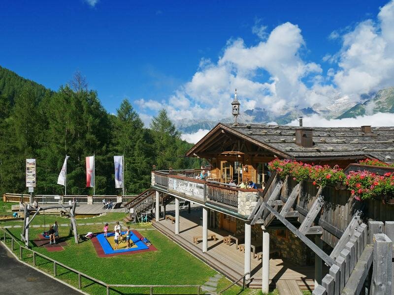
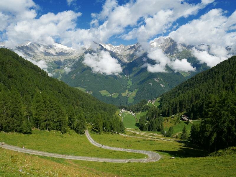
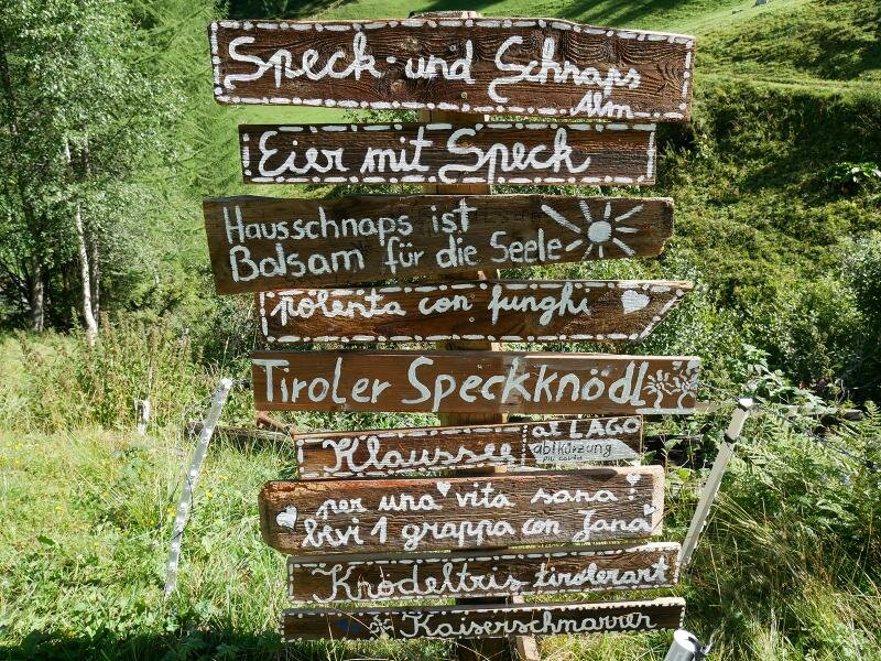
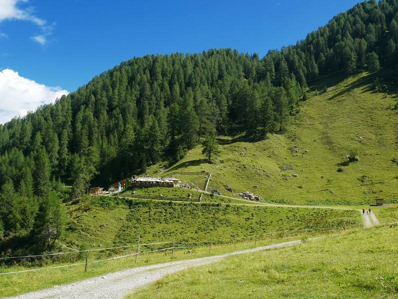
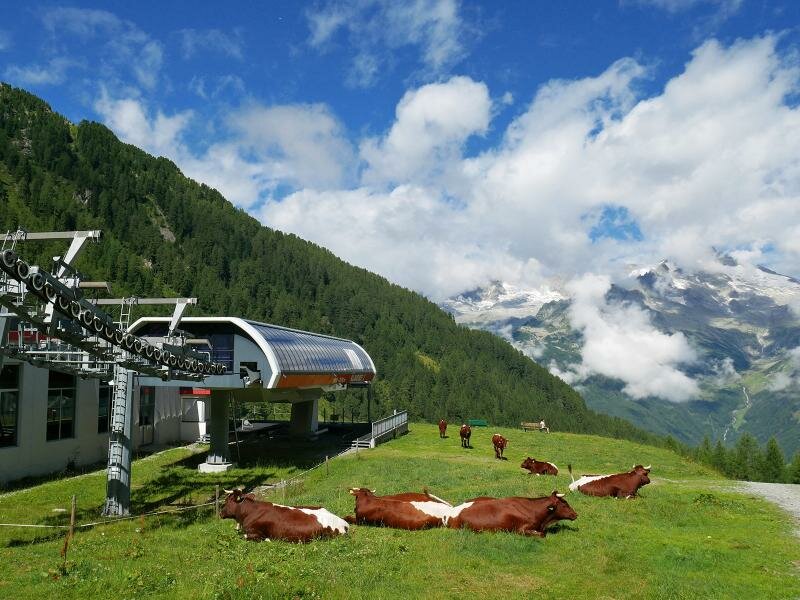
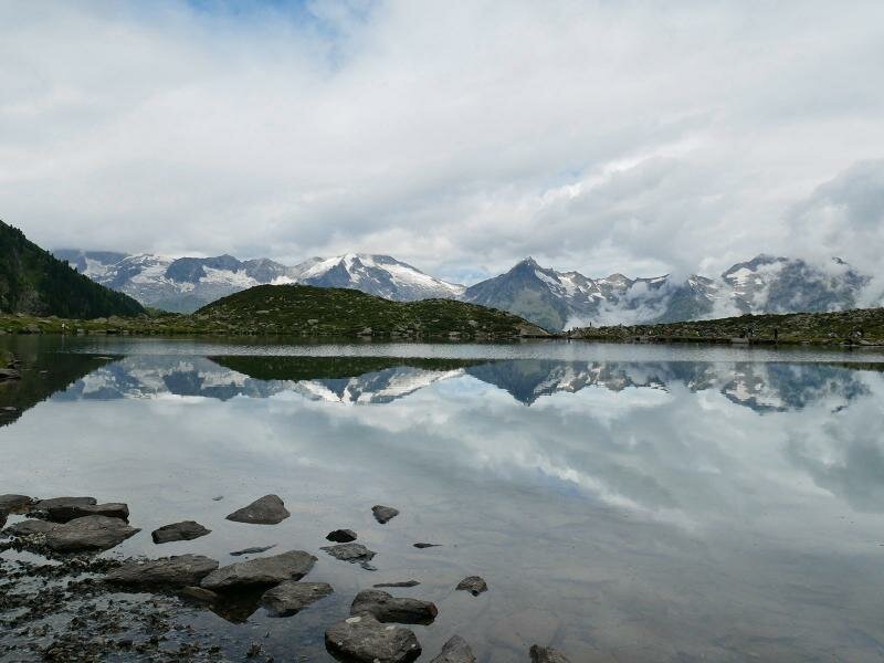
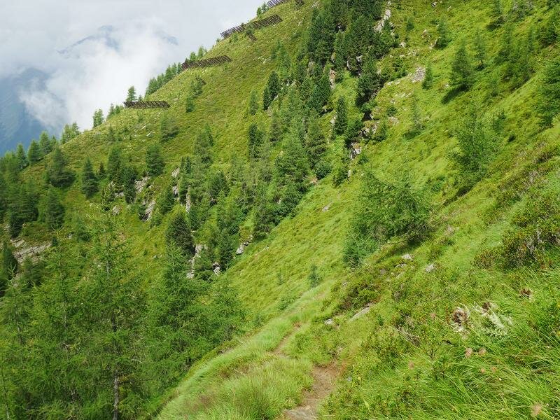
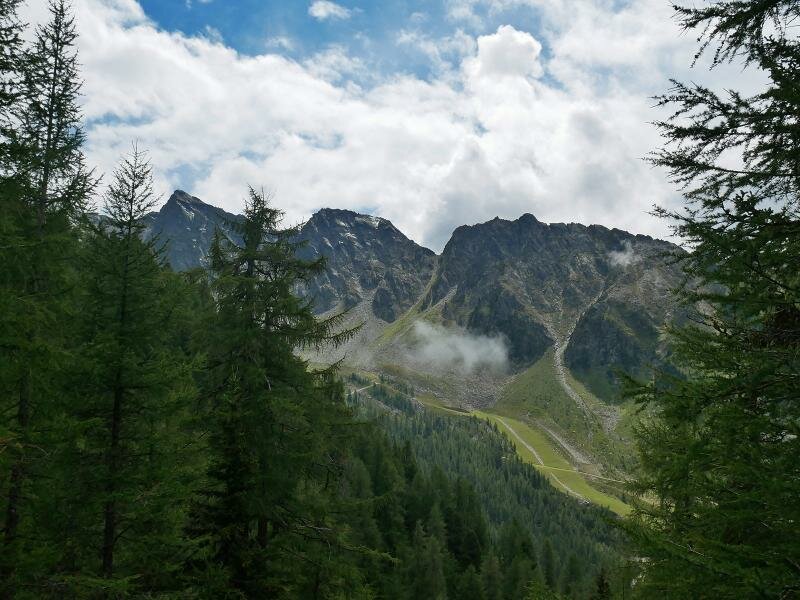
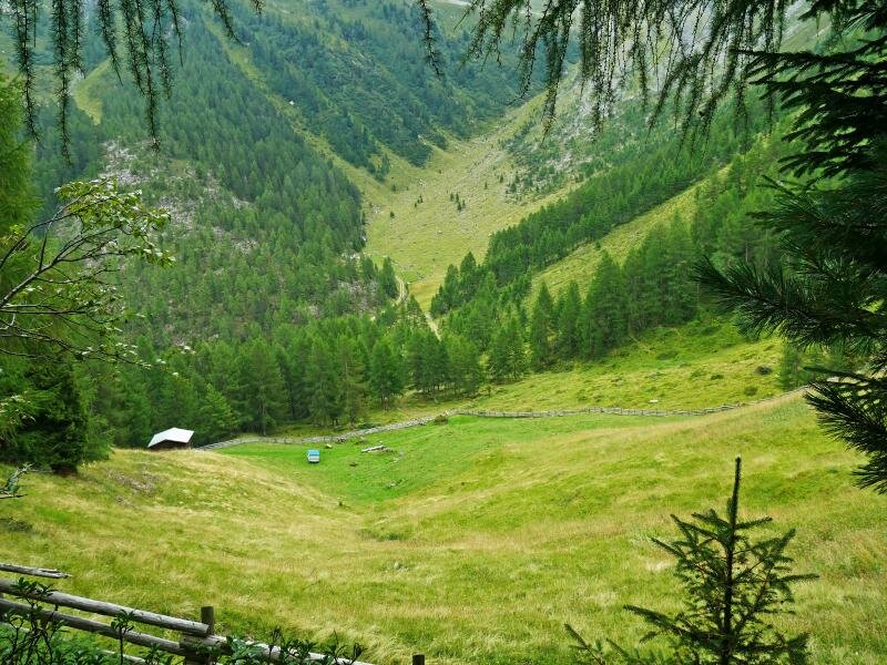
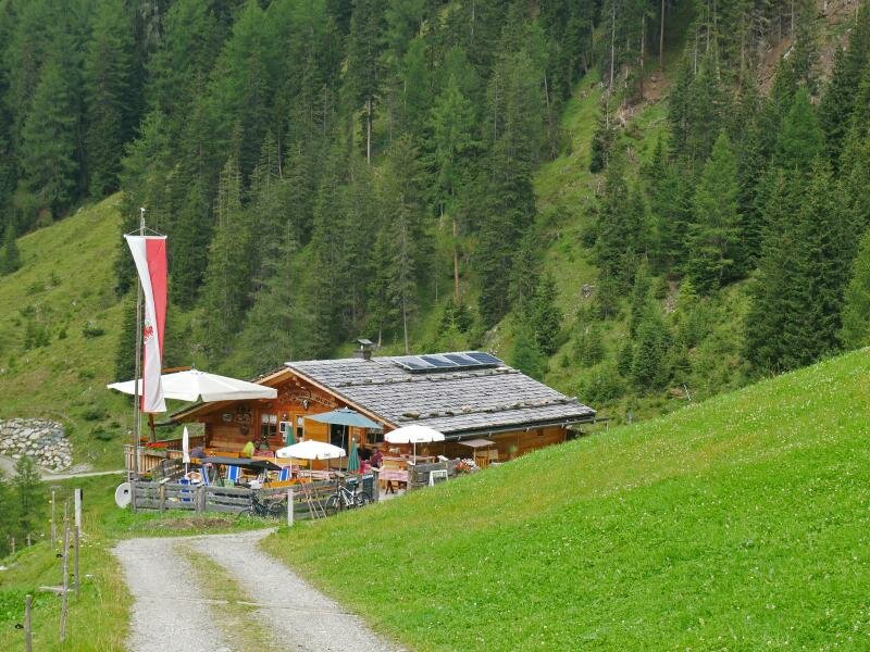
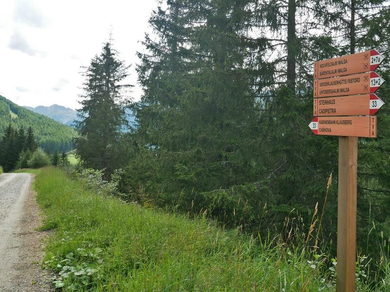
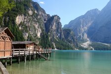
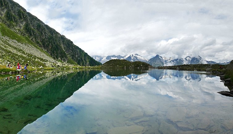
The “K-Express” Cable Car takes us from Cadipietra up to the mountain station of the Kristallalm mountain hut (1,590 m a.s.l.). We follow path no. 33 (Durreck High Route) which parallels the ski slope through the Kleinklausental valley up to Lake Chiusetta. Along the way we find many rest points, such as the malga Moaregg, the Speck- & Schnapsalm, the Baurschaftalm and the Rif. Bachmair. After a 90 minutes walk we reach Lake Chiusetta at 2,162 m and walk around it. The peaks of the Alpi della Zillertal are reflected in its clear water.
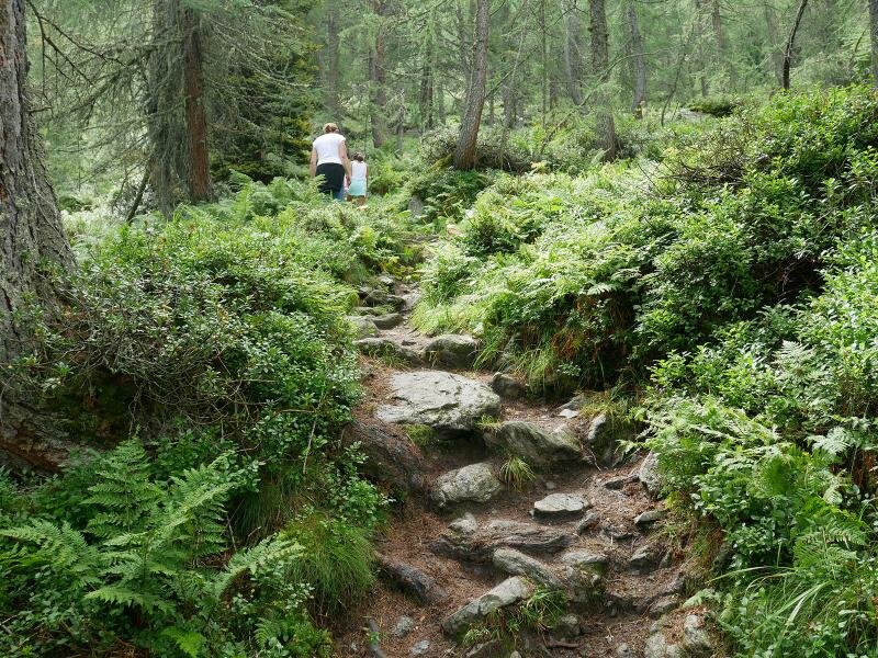
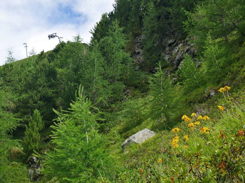
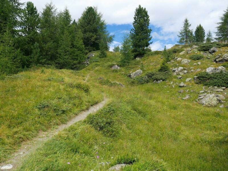
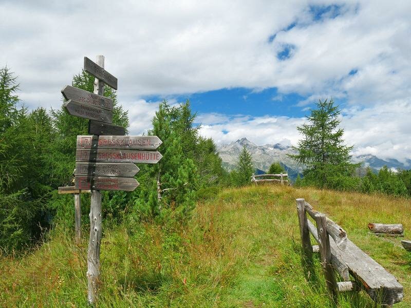
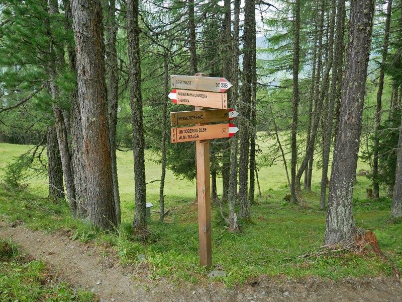
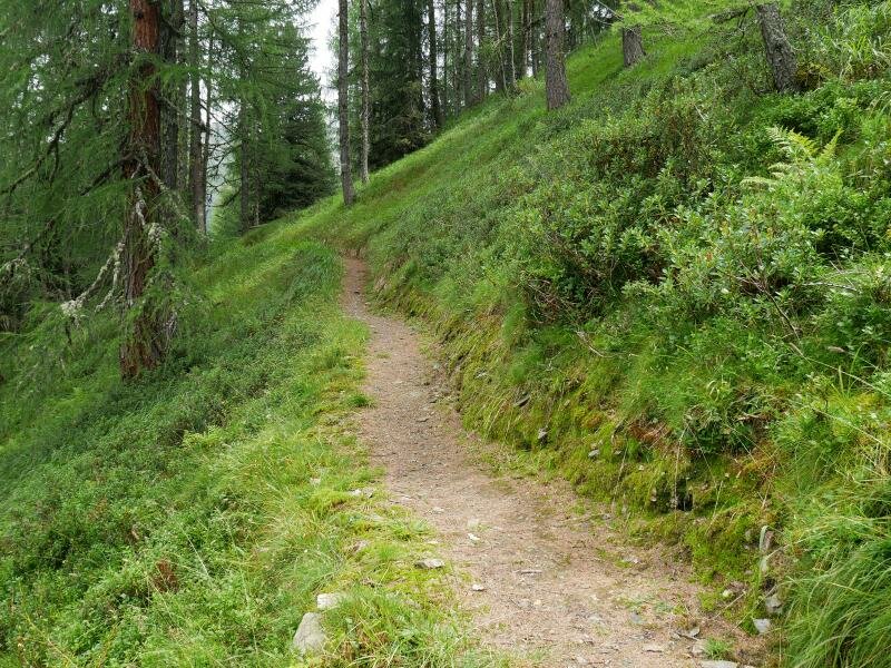
Our next destination is the Breitrast viewpoint. Via path no. 33B, which proceeds through a heath and then through the forest, we reach the meadow clearing Breitrast provided with a rest area. Along path no. 33B we descend to the mountain station of the chairlift, from there we follow path no. 3 through the forest to the wooden hut “Kropfa Lahna” and into the Grossklausental valley. After having crossed the stream we descend the forest road (always marker no. 2) to the Untoberga Olbe (Unterberger Alm) mountain hut.
After a break, we hike back to the mountain station of the cable car (always marker no. 2) which takes us down to Cadipietra.
Author: AT
-
- Starting point:
- Kristallalm mountain hut (mountain station of the "K-Express" funicular)
-
- Time required:
- 03:45 h
-
- Track length:
- 11,2 km
-
- Altitude:
- from 1.550 m to 2.215 m
-
- Altitude difference:
- +707 m | -707 m
-
- Route:
- Kristallalm mountain hut - Lake Chiusetta - Breitrast - "Kropfa Lahna" hut - "Untoberga Olbe" mountain hut - Kristallalm mountain hut
-
- Signposts:
- 33, 33B, 2
-
- Resting points:
- Moaregg, Speck und Schnaps Alm, Bauerschaftsalm, Bachmair, Unterberger Alm, Kristall Alm
-
- Recommended time of year:
- Jan Feb Mar Apr May Jun Jul Aug Sep Oct Nov Dec
-
- Download GPX track:
- Hike to Lake Chiusetta and the Grossklausental valley
If you want to do this hike, we suggest you to check the weather and trail conditions in advance and on site before setting out.