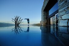
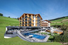
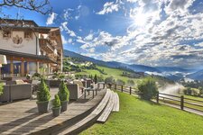
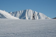
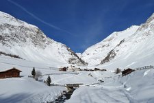
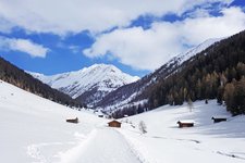
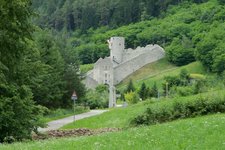
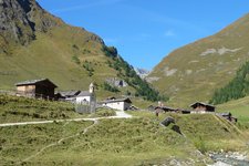
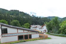
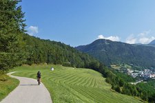
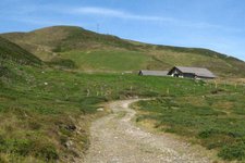
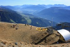
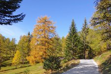
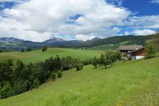
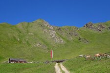
Gitschberg and Jochtal are the walking and skiing areas of the municipality of Rio di Pusteria, its symbol is the fortress Chiusa di Rio
Image gallery: Rio di Pusteria
-
- 13/04/2025
 +10° +13° Weekly weather forecast
 -

-

video : South Tyrolean Milk Festival
-

video : Sunrise hike on Mt. Stoanamandl
-

video : Cribble Crabble Climbing
-

video : Felt slippery production in Rio di Pusteria
-

video : Ski and holiday area Gitschberg Jochtal
-

video : Gitschberg Jochtal Skiing Area
-

video : A perfect ski day on Mt. Gitschberg
-

video : Gitschberg Jochtal Kids Snow Park
The municipality of Rio Pusteria stretches from 695 to 3,132 m a.s.l. and has got about 2,960 inhabitants. It is located at the entrance of the Val Pusteria and does not only comprise the homonymous chief village, but also the localities Maranza, Valles and Spinga. The Chiusa di Rio Pusteria could be considered the symbol of the municipality, once upon a time it used to be an important toll station. Today it can be visited in guided tours in summer months and it is also venue for open air performances.
While in winter the municipality provides two skiing areas, Gitschberg and Jochtal, as well as cross-country ski tracks and a toboggan run, in summer there are several hiking destinations such as the alpine village Malga Fane and the idyllic Valle d'Altafossa. What you don't have to miss out is the Alpine pasture festival at Malga Fane, as well as the long Wednesday evenings in the alleys of Rio di Pusteria.
Further attractions that make a stay in Rio di Pusteria even more pleasant are a miniature golf course, an indoor and outdoor pool and last but not least the local cuisine.


