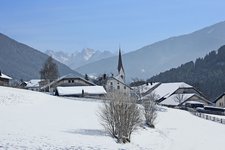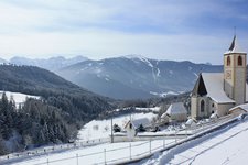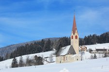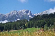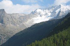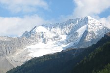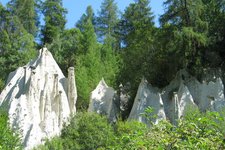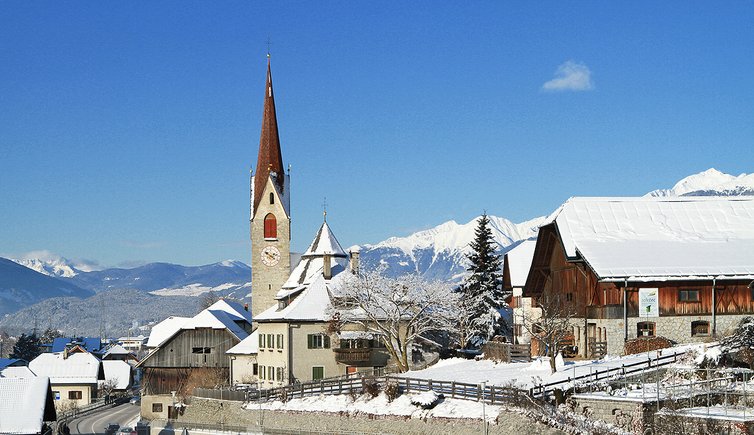
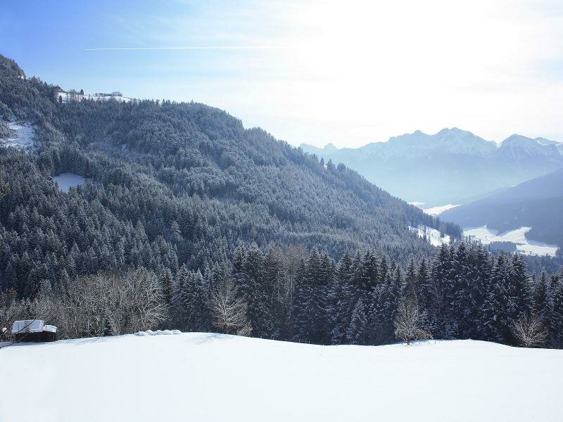
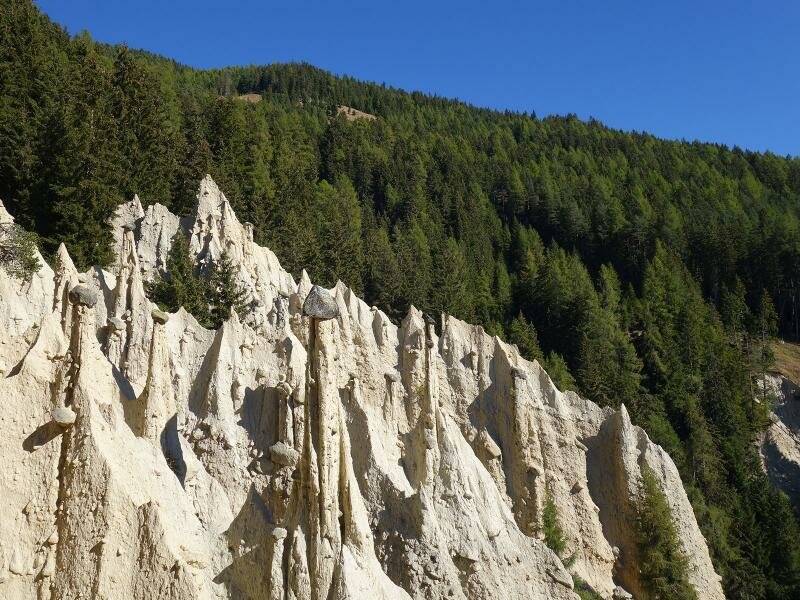
The sunny municipality of Perca lies in the Vedrette di Ries - Aurina nature park. The earth pyramids in Plata are one of the main attractions of this area


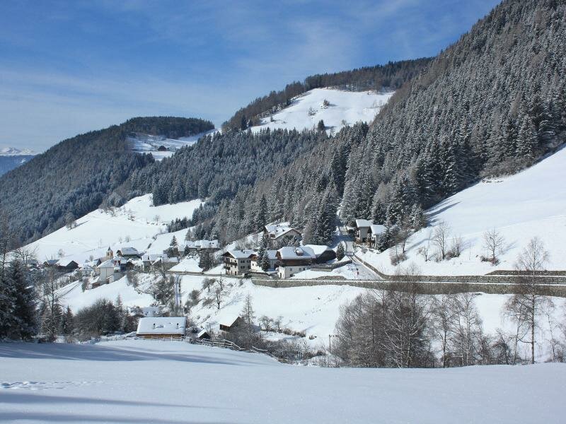
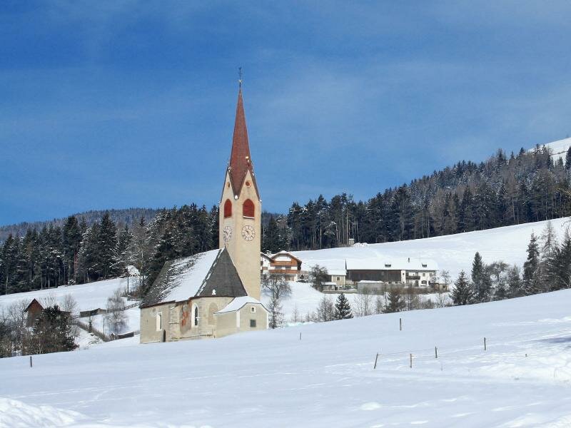
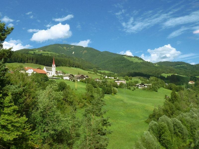
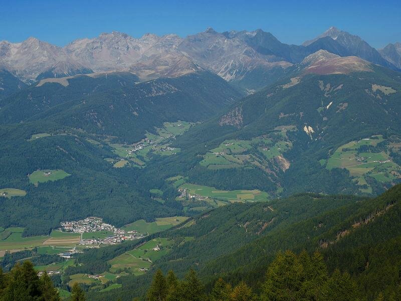


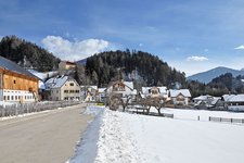
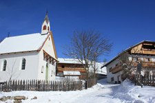
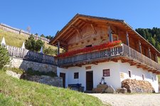
The municipality of Perca has about 1,450 inhabitants and extends from an altitude of 892 m a.s.l. at the riverbanks of the Rienza to the 3,105 m-high peaks of the Vedrette di Ries group for a total elevation gain of 2,000 m, whereas it stretches over only a few kilometres from west to east. The village of Perca is the administrative centre of the eponymous municipality which also includes the localities of Sopranessano, Nessano, Rio Liccio, Plata, as well as the hamlets of the wonderful Val di Vile, that is, Montevila, Vila di Sopra and Vila di Sotto.
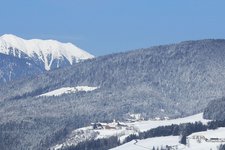
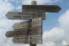
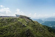
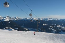
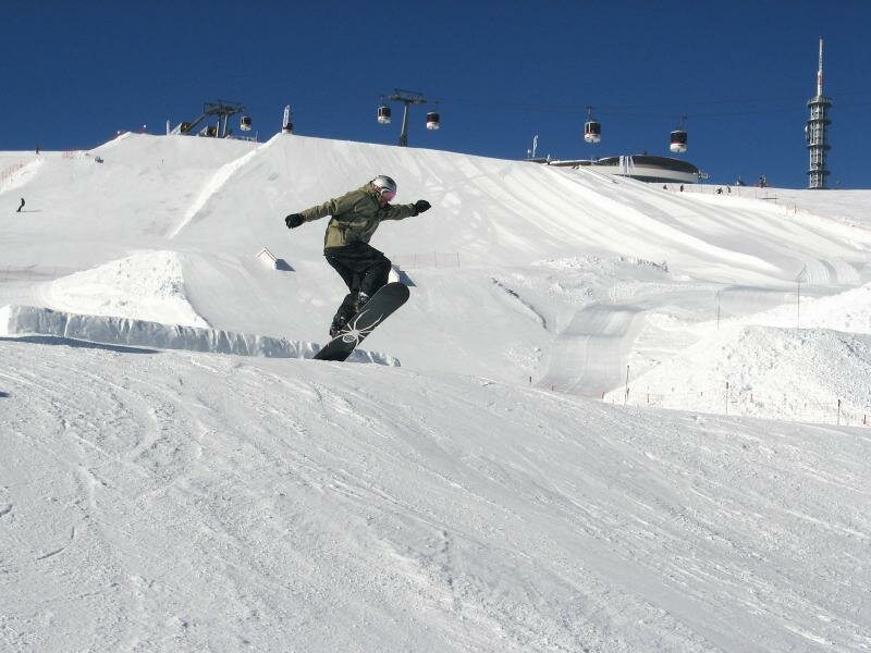
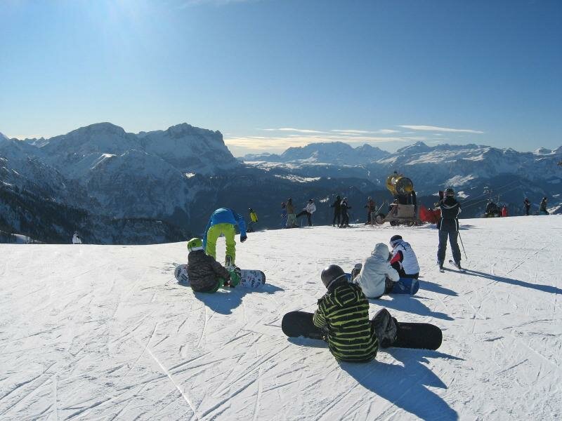
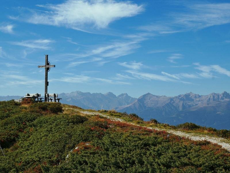
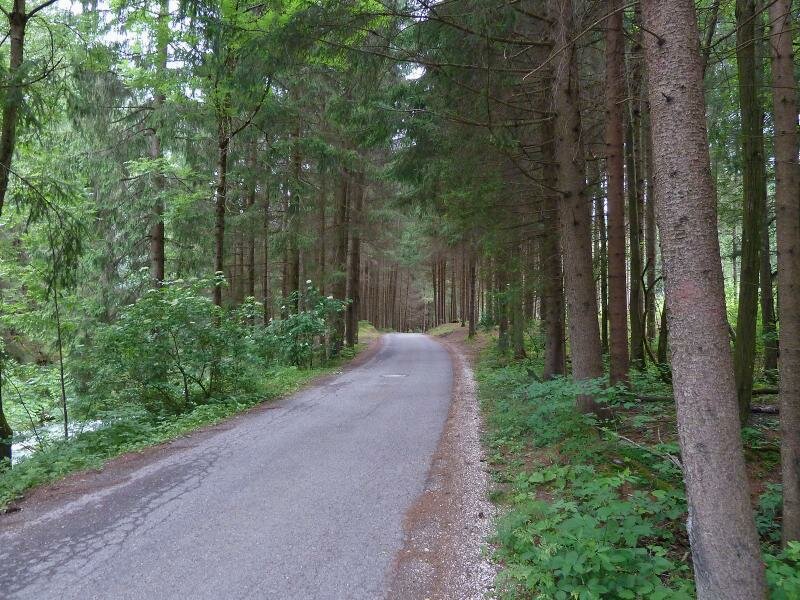
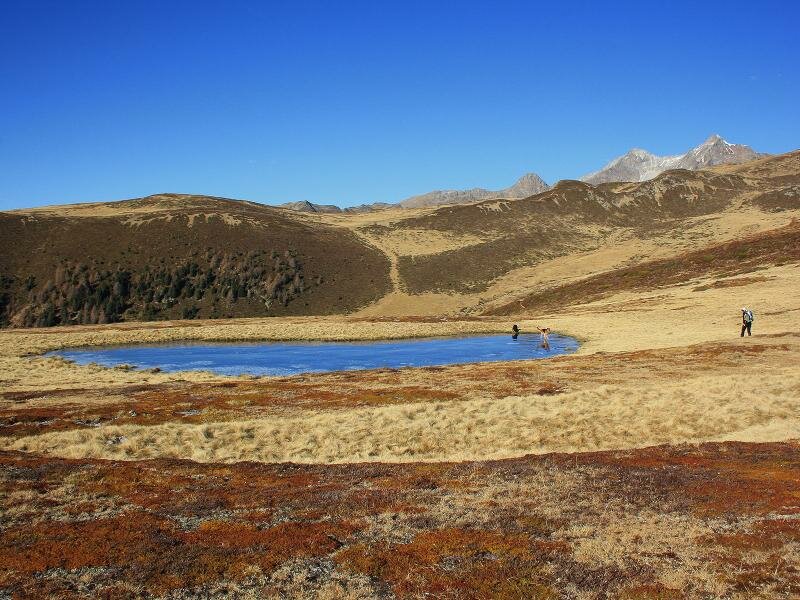
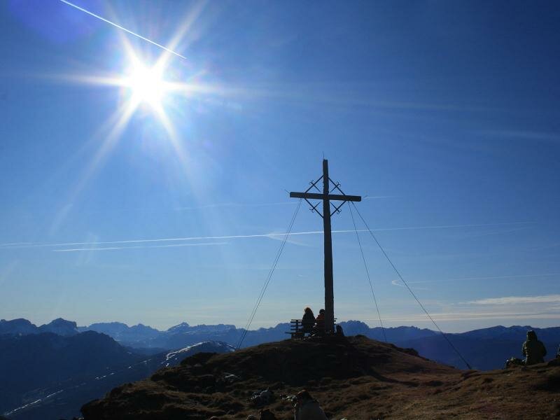
Perca is situated in the Vedrette di Ries-Aurina nature park, a true natural paradise where you can undertake unforgettable excursions and hikes to the Montone or Monte Nalle. Thanks to its proximity to the Val Pusteria cycle path, the village is also a perfect starting point for bike tours with your family. In winter the Plan de Corones turns into a well-known skiing area with perfectly-prepared ski slopes. Thanks to its sunny position, the area around Perca has been inhabited since centuries ago, as testified by a milestone near the church of the village.